UN/LOCODE hub · Caribbean Netherlands
BQEUX

Sint Eustatius

17.4833°, -62.9667°
3
Transport functions

Transport Functions

Port
Airport
Postal
UN/LOCODE

Location

Location of BQEUX
Natural Earth 10m (public domain) · St. Eustatius · BQEUX · 17.48, -62.97GoogleOSMYandex

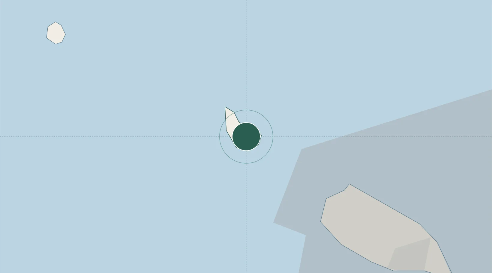
Nearby Logistics Neighbours

Cities
  1. 1Saba33 km
  2. 2Saba33 km
  3. 3Basseterre, Saint Kitts35 km
  4. 4Saint-Barthélemy48 km
  5. 5Nevis55 km
Nearest neighbours — logibook spatial index (haversine) over the source coordinates
Ports
  1. 1Oranjestad2 km
  2. 2Basseterre34 km
  3. 3Gustavia48 km
  4. 4Charlestown53 km
  5. 5Philipsburg60 km
Nearest neighbours — logibook spatial index (haversine) over the source coordinates
Airports
  1. 1F. D. Roosevelt Airport2 km
  2. 2Juancho E. Yrausquin Airport32 km
  3. 3Robert L. Bradshaw International Airport33 km
  4. 4St. Jean Airport49 km
  5. 5Vance W. Amory International Airport51 km
Nearest neighbours — logibook spatial index (haversine) over the source coordinates
Trade Zones
  1. 1Free Trade & Processing Zone130 km
  2. 2Antigua and Barbuda Special Economic Zone (ABSEZ)137 km
  3. 3FTZ No. 061 San Juan350 km
  4. 4FTZ No. 163 Ponce384 km
  5. 5Choc Estate (Special Development Zone)439 km
Nearest neighbours — logibook spatial index (haversine) over the source coordinates

All Sources

LocationsUN/LOCODE
UN/LOCODE — free
Portsthe NGA World Port Index
Public domain (US gov)
AirportsOurAirports
Public domain
Trade Zonesthe World Bank SEZ database
CC BY 4.0
Trade ZonesOpen Zone Map
CC BY
← Caribbean Netherlands locations