Large airport · Montserrat

John A. Osborne AirportTRPG
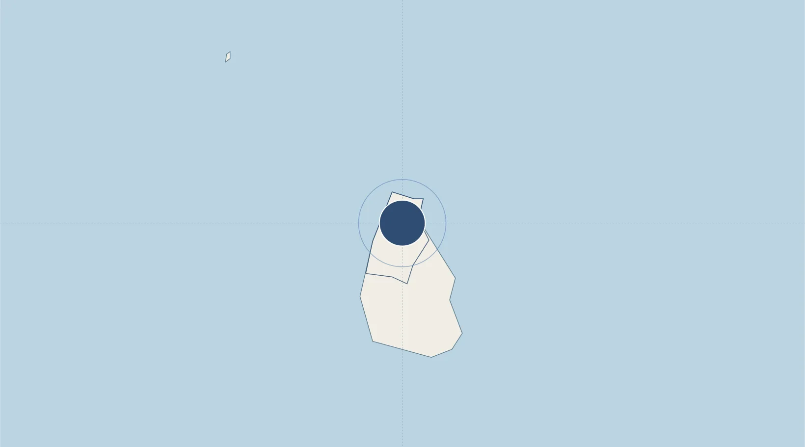
16.7918°, -62.1932°
1,968 ft
Longest runway
1
Runways
550 ft
Elevation

Runway & Layout

John A. Osborne Airport runway & taxiway layout
Runway & taxiway layout — OpenStreetMap (ODbL) / OurAirports

Navaids

MON NDB Geralds 215 kHz
OurAirports

Runways · 1

RunwayDimensions SurfaceTrue headingLit
10/28 1,968 × —ft Asphalt
OurAirports

Airport Specifications

IATA code
MNI
OurAirports
ICAO code
TRPG
OurAirports
Airport class
Large airport
OurAirports
Scheduled service
Yes
OurAirports
Runway surface
Asphalt
OurAirports
Served city
Gerald's Park
OurAirports

Location

Location of TRPG
Natural Earth 10m (public domain) · Saint Peter · TRPG · 16.79, -62.19GoogleOSMYandex

Nearby Logistics Neighbours

Airports
  1. 1V. C. Bird International Airport57 km
  2. 2Vance W. Amory International Airport62 km
  3. 3Robert L. Bradshaw International Airport80 km
  4. 4Maryse Condé International Airport92 km
  5. 5Basse-Terre Baillif Airport99 km
Nearest neighbours — logibook spatial index (haversine) over the source coordinates
Cities
  1. 1Little Bay1 km
  2. 2Falmouth50 km
  3. 3Saint John's51 km
  4. 4Parham57 km
  5. 5Nevis58 km
Nearest neighbours — logibook spatial index (haversine) over the source coordinates
Ports
  1. 1St Johns51 km
  2. 2Charlestown60 km
  3. 3Basseterre79 km
  4. 4Port Louis82 km
  5. 5Pointe A Pitre94 km
Nearest neighbours — logibook spatial index (haversine) over the source coordinates
DatabookThe Record of Consolidated Knowledge
Montserrat beyond logistics?
Browse databook

All Sources

AirportsOurAirports
Public domain
Portsthe NGA World Port Index
Public domain (US gov)
LocationsUN/LOCODE
UN/LOCODE — free
Trade Zonesthe World Bank SEZ database
CC BY 4.0
Trade ZonesOpen Zone Map
CC BY
InfrastructureOpenStreetMap
ODbL 1.0
← Montserrat airports