Runway & Layout

Airport Specifications
IATA code
YGG
ICAO code
CAX6
Airport class
Seaplane base
Scheduled service
Yes
Served city
Salt Spring Island
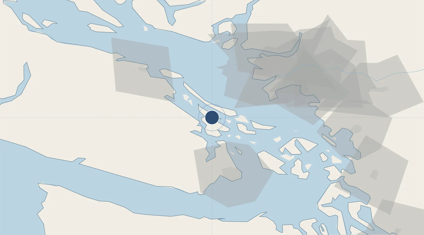
Location
Nearby Logistics Neighbours
Airports
Cities
- 1Duncan/Quam18 km
- 2Thetis Island20 km
- 3Cobble Hill21 km
- 4Brentwood Bay30 km
- 5Robert's Bank34 km
Ports
- 1Ganges1 km
- 2Crofton10 km
- 3Cowichan Bay15 km
- 4Lyall Harbor23 km
- 5Sidney24 km
Trade Zones
- 1FTZ Vancouver Island52 km
- 2FTZ No. 128 Whatcom County70 km
- 3FTZ No. 129 Bellingham72 km
- 4FTZ No. 085 Everett134 km
- 5FTZ No. 005 Seattle157 km
DatabookThe Record of Consolidated Knowledge
Canada beyond logistics?