Runway & Layout
Airport Specifications
IATA code
SYB
Airport class
Seaplane base
Scheduled service
Yes
Served city
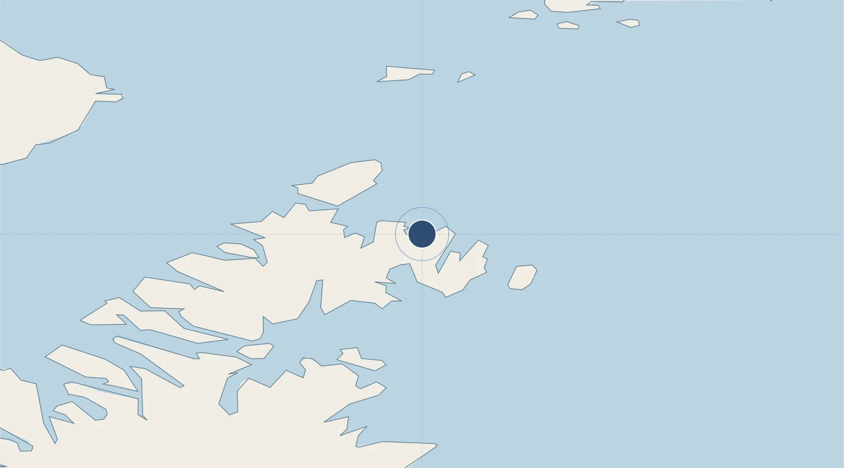
Seal Bay
Location
Nearby Logistics Neighbours
Airports
- 1Kitoi Bay Seaplane Base23 km
- 2Port Williams Seaplane Base26 km
- 3Ouzinkie Airport50 km
- 4Port Lions Airport66 km
- 5Port Bailey Seaplane Base70 km
Cities
- 1Afognak53 km
- 2Jakolof Bay126 km
- 3Kaguyak192 km
- 4Anchorage344 km
- 5Port MacKenzie346 km
Ports
- 1Port William25 km
- 2Ouzinkie54 km
- 3Kodiak67 km
- 4Port Graham111 km
- 5Seldovia121 km
Trade Zones
- 1FTZ No. 232 Kodiak133 km
- 2FTZ No. 160 Anchorage344 km
- 3FTZ No. 108 Valdez448 km
- 4FTZ No. 195 Fairbanks757 km
- 5PrInce George Logistics Park1874 km
DatabookThe Record of Consolidated Knowledge
United States beyond logistics?