Seaplane base · United States
Port Bailey Seaplane BaseKPY
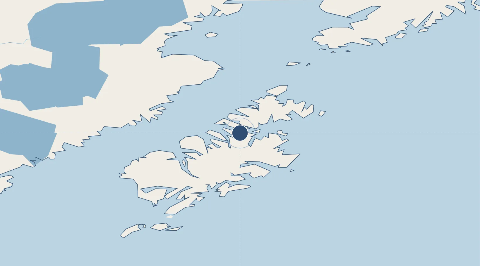
57.9313°, -153.0408°
10,000 ft
Longest runway
1
Runways
Runway & Layout
Runways · 1
| Runway | Dimensions | Surface | True heading | Lit |
|---|---|---|---|---|
| E/W | 10,000 × 2000ft | Water | — | — |
Airport Specifications
IATA code
KPY
ICAO code
KPY
Airport class
Seaplane base
Scheduled service
Yes
Runway surface
Water
Served city
Port Bailey
Location
Nearby Logistics Neighbours
Airports
- 1Port Lions Airport13 km
- 2San Juan /Uganik/ Seaplane Base28 km
- 3Ouzinkie Airport34 km
- 4West Point Village Seaplane Base35 km
- 5Kodiak Airport38 km
Cities
- 1Afognak18 km
- 2Kaguyak127 km
- 3Jakolof Bay191 km
- 4Anchorage408 km
- 5Port MacKenzie410 km
Ports
- 1Ouzinkie32 km
- 2Kodiak41 km
- 3Uyak66 km
- 4Port William67 km
- 5Larsen Bay71 km
Trade Zones
- 1FTZ No. 232 Kodiak63 km
- 2FTZ No. 160 Anchorage408 km
- 3FTZ No. 108 Valdez518 km
- 4FTZ No. 195 Fairbanks819 km
- 5PrInce George Logistics Park1922 km
DatabookThe Record of Consolidated Knowledge
United States beyond logistics?