Seaplane base · United States
Kitoi Bay Seaplane BaseKKB
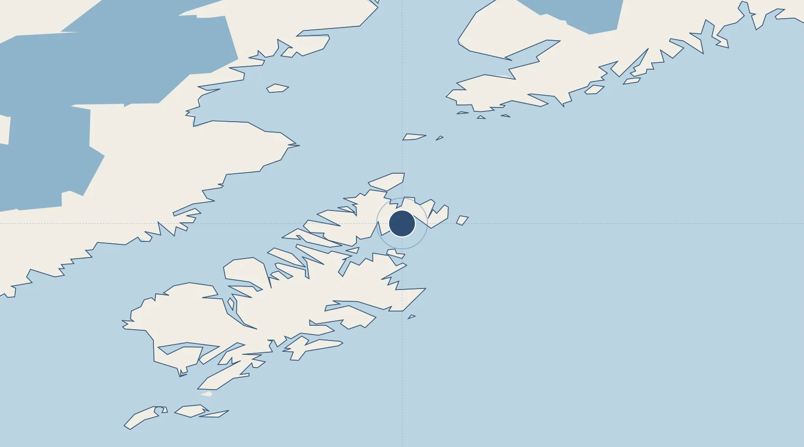
58.1909°, -152.3700°
4,000 ft
Longest runway
1
Runways
Runway & Layout
Runways · 1
| Runway | Dimensions | Surface | True heading | Lit |
|---|---|---|---|---|
| E/W | 4,000 × 1000ft | Water | — | — |
Airport Specifications
IATA code
KKB
ICAO code
KKB
Airport class
Seaplane base
Scheduled service
Yes
Runway surface
Water
Served city
Kitoi Bay
Location
Nearby Logistics Neighbours
Airports
- 1Seal Bay Seaplane Base23 km
- 2Ouzinkie Airport28 km
- 3Port Williams Seaplane Base36 km
- 4Port Lions Airport44 km
- 5Port Bailey Seaplane Base49 km
Cities
- 1Afognak32 km
- 2Jakolof Bay148 km
- 3Kaguyak170 km
- 4Anchorage366 km
- 5Port MacKenzie369 km
Ports
- 1Ouzinkie31 km
- 2Port William35 km
- 3Kodiak45 km
- 4Uyak115 km
- 5Larsen Bay120 km
Trade Zones
- 1FTZ No. 232 Kodiak111 km
- 2FTZ No. 160 Anchorage366 km
- 3FTZ No. 108 Valdez470 km
- 4FTZ No. 195 Fairbanks780 km
- 5PrInce George Logistics Park1883 km
DatabookThe Record of Consolidated Knowledge
United States beyond logistics?