Small airport · United States
Port Lions AirportORI
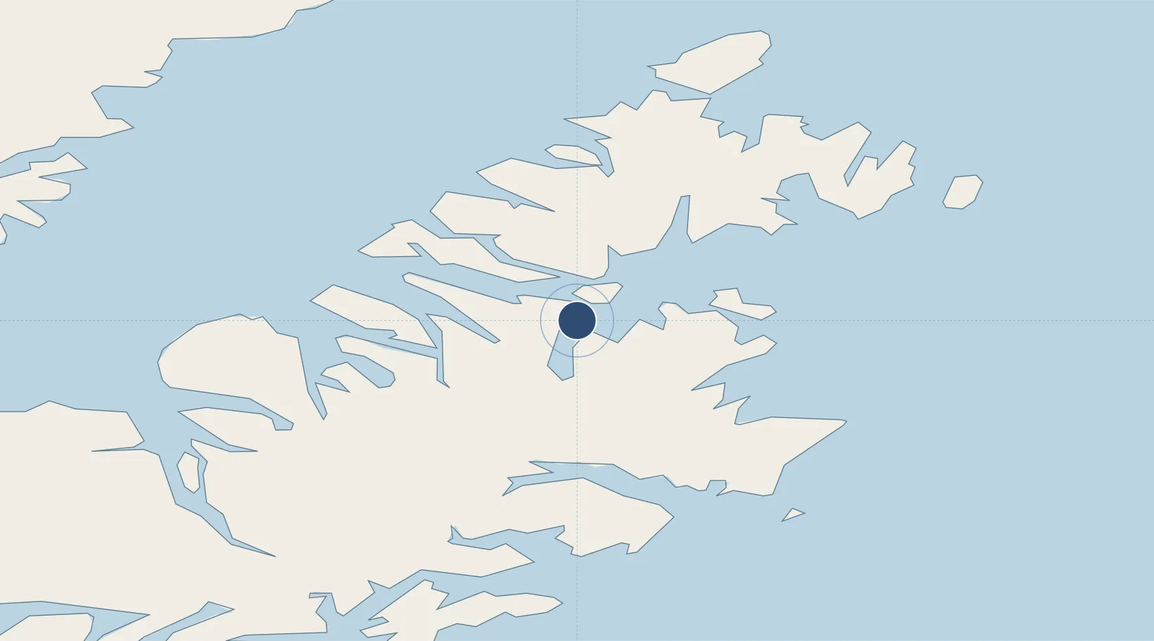
57.8849°, -152.8477°
2,200 ft
Longest runway
1
Runways
52 ft
Elevation
Runway & Layout

Runways · 1
| Runway | Dimensions | Surface | True heading | Lit |
|---|---|---|---|---|
| 07/25 | 2,200 × 75ft | GRAVEL-G | — | — |
Airport Specifications
IATA code
ORI
Airport class
Small airport
Scheduled service
Yes
Runway surface
GRAVEL-G
Served city
Port Lions
Location
Nearby Logistics Neighbours
Airports
- 1Port Bailey Seaplane Base13 km
- 2Ouzinkie Airport24 km
- 3Kodiak Airport26 km
- 4San Juan /Uganik/ Seaplane Base33 km
- 5West Point Village Seaplane Base43 km
Cities
- 1Afognak14 km
- 2Kaguyak126 km
- 3Jakolof Bay190 km
- 4Anchorage408 km
- 5Port MacKenzie411 km
Ports
- 1Ouzinkie21 km
- 2Kodiak29 km
- 3Port William68 km
- 4Uyak74 km
- 5Larsen Bay78 km
Trade Zones
- 1FTZ No. 232 Kodiak67 km
- 2FTZ No. 160 Anchorage409 km
- 3FTZ No. 108 Valdez514 km
- 4FTZ No. 195 Fairbanks820 km
- 5PrInce George Logistics Park1910 km
DatabookThe Record of Consolidated Knowledge
United States beyond logistics?