Small airport · United States
Ouzinkie Airport4K5
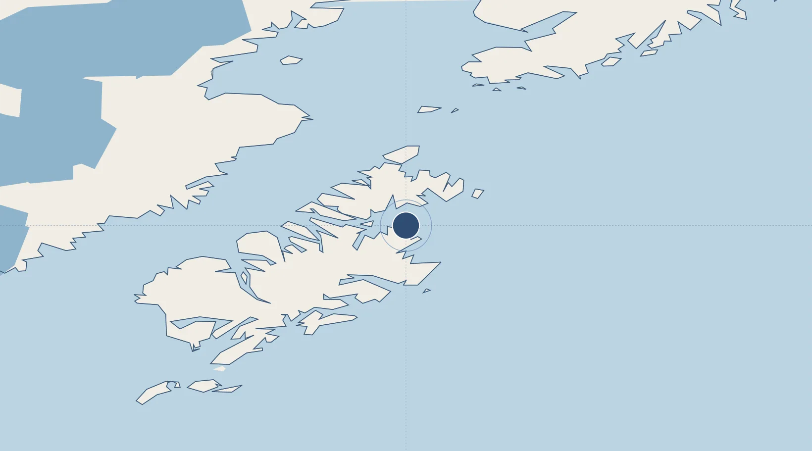
57.9421°, -152.4643°
3,300 ft
Longest runway
1
Runways
55 ft
Elevation
Runway & Layout

Runways · 1
| Runway | Dimensions | Surface | True heading | Lit |
|---|---|---|---|---|
| 08/26 | 3,300 × 80ft | GRVL-G | 101° | ✓ |
Airport Specifications
IATA code
KOZ
Airport class
Small airport
Scheduled service
Yes
Runway surface
GRVL-G
Served city
Ouzinkie
Location
Nearby Logistics Neighbours
Airports
- 1Kodiak Airport21 km
- 2Port Lions Airport24 km
- 3Kitoi Bay Seaplane Base28 km
- 4Port Bailey Seaplane Base34 km
- 5Seal Bay Seaplane Base50 km
Cities
- 1Afognak19 km
- 2Kaguyak143 km
- 3Jakolof Bay176 km
- 4Anchorage394 km
- 5Port MacKenzie396 km
Ports
- 1Ouzinkie4 km
- 2Kodiak18 km
- 3Port William61 km
- 4Uyak97 km
- 5Mccord98 km
Trade Zones
- 1FTZ No. 232 Kodiak89 km
- 2FTZ No. 160 Anchorage394 km
- 3FTZ No. 108 Valdez494 km
- 4FTZ No. 195 Fairbanks808 km
- 5PrInce George Logistics Park1888 km
DatabookThe Record of Consolidated Knowledge
United States beyond logistics?