Runway & Layout

Airport Specifications
ICAO code
SMCT
Airport class
Small airport
Scheduled service
Yes
Served city
Lawa Cottica
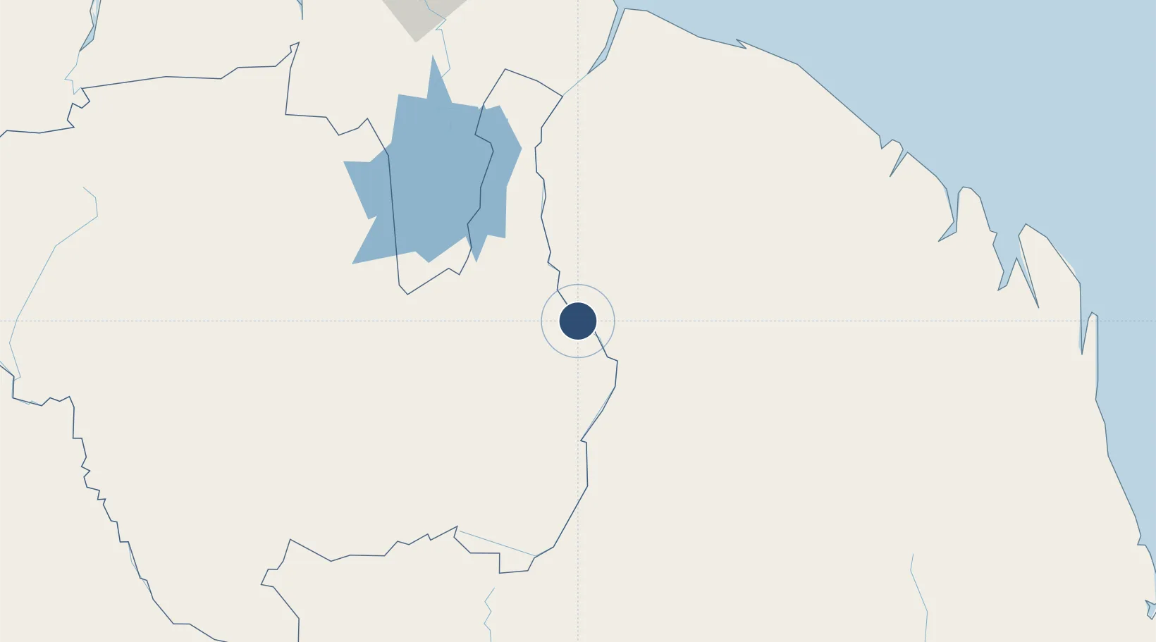
Location
Nearby Logistics Neighbours
Airports
- 1Tabiki Airstrip25 km
- 2Maripasoula Airport30 km
- 3Drietabbetje Airport57 km
- 4Godo Holo Airstrip66 km
- 5Afobakka Airstrip153 km
Cities
- 1Saint-Laurent-du-Maroni185 km
- 2Awala-Yalimapo206 km
- 3Kourou228 km
- 4Lelydorp234 km
- 5Paramaribo242 km
Ports
- 1Moengo199 km
- 2Paranam219 km
- 3Paramaribo244 km
- 4Degrad Des Cannes244 km
- 5Nieuw Nickerie386 km
Trade Zones
- 1Coldingen Industrial Estate531 km
- 2Eccles Industrial Estate543 km
- 3Ruimveldt Industrial Estate545 km
- 4Lethem Industrial Estate621 km
- 5ZPE de Boa Vista (RR)728 km
DatabookThe Record of Consolidated Knowledge
Suriname beyond logistics?