UN/LOCODE hub · French Guiana
GFSLM
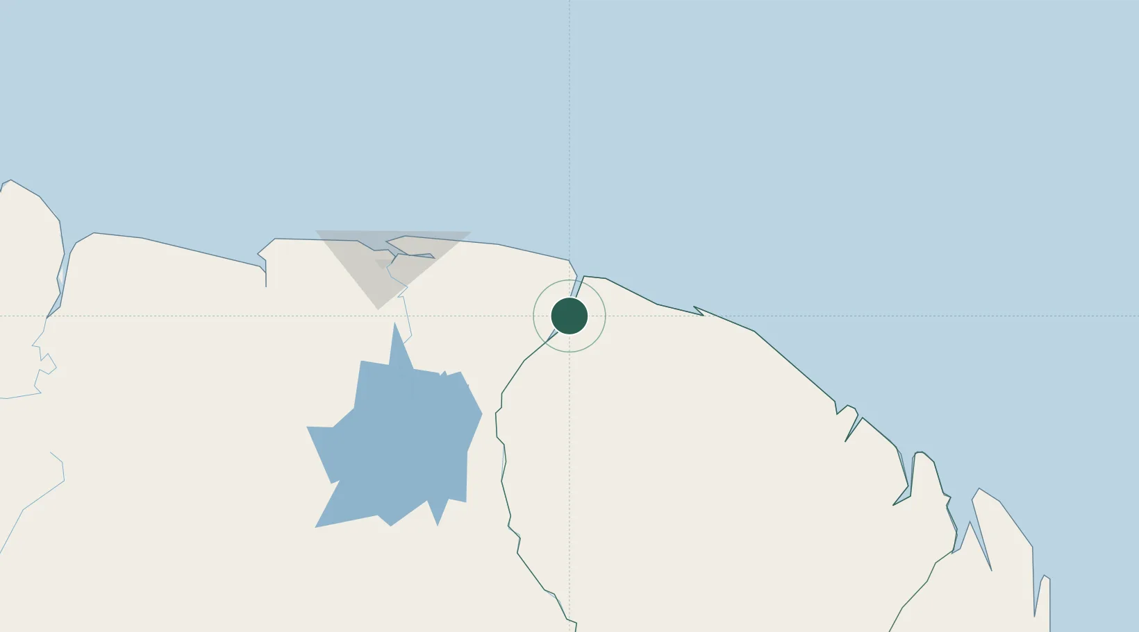
Saint-Laurent-du-Maroni
5.5000°, -54.0333°
24,287
Population
3
Transport functions
Transport Functions
Port
Road
Airport
Hub Profile
Place type
Provincial seat
Region
Guyane
Population
24,287
Time zone
America/Cayenne
Elevation
10 m
Location
Nearby Logistics Neighbours
Cities
- 1Awala-Yalimapo23 km
- 2Paramaribo130 km
- 3Lelydorp135 km
- 4Kwatta139 km
- 5Kourou160 km
Ports
- 1Moengo45 km
- 2Paranam119 km
- 3Paramaribo131 km
- 4Degrad Des Cannes209 km
- 5Nieuw Nickerie332 km
Airports
- 1Saint-Laurent-du-Maroni Airport2 km
- 2Moengo Airstrip42 km
- 3Afobakka Airstrip120 km
- 4Johan Adolf Pengel International Airport128 km
- 5Zorg en Hoop Airport133 km
Trade Zones
- 1Coldingen Industrial Estate463 km
- 2Eccles Industrial Estate478 km
- 3Ruimveldt Industrial Estate479 km
- 4Lethem Industrial Estate681 km
- 5Free Port of Santa Elena de Uairén790 km