Runway & Layout

Airport Specifications
ICAO code
SMAF
Airport class
Small airport
Scheduled service
Yes
Served city
Afobakka
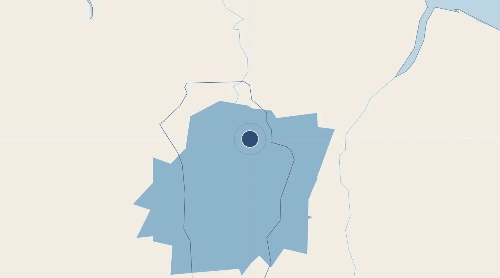
Location
Nearby Logistics Neighbours
Airports
Cities
- 1Lelydorp83 km
- 2Paramaribo93 km
- 3Kwatta95 km
- 4Saint-Laurent-du-Maroni120 km
- 5Awala-Yalimapo140 km
Ports
- 1Paranam70 km
- 2Paramaribo95 km
- 3Moengo95 km
- 4Nieuw Nickerie246 km
- 5Degrad Des Cannes302 km
Trade Zones
- 1Coldingen Industrial Estate389 km
- 2Eccles Industrial Estate403 km
- 3Ruimveldt Industrial Estate404 km
- 4Lethem Industrial Estate563 km
- 5ZPE de Boa Vista (RR)679 km
DatabookThe Record of Consolidated Knowledge
Suriname beyond logistics?