Small airport · Suriname

Godo Holo AirstripSMGH

4.0583°, -54.7861°
280 ft
Elevation

Runway & Layout

Godo Holo Airstrip runway & taxiway layout
Runway & taxiway layout — OpenStreetMap (ODbL) / OurAirports

Airport Specifications

ICAO code
SMGH
OurAirports
Airport class
Small airport
OurAirports
Scheduled service
Yes
OurAirports
Served city
Pikienkondre of Miranda
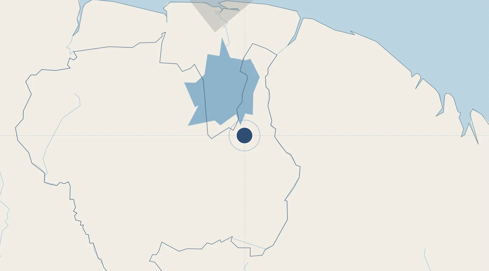
OurAirports

Location

Location of SMGH
Natural Earth 10m (public domain) · Sipaliwini · SMGH · 4.06, -54.79GoogleOSMYandex

Nearby Logistics Neighbours

Airports
  1. 1Drietabbetje Airport14 km
  2. 2Cottica Airstrip66 km
  3. 3Tabiki Airstrip88 km
  4. 4Maripasoula Airport94 km
  5. 5Afobakka Airstrip107 km
Nearest neighbours — logibook spatial index (haversine) over the source coordinates
Cities
  1. 1Saint-Laurent-du-Maroni181 km
  2. 2Lelydorp189 km
  3. 3Paramaribo200 km
  4. 4Kwatta202 km
  5. 5Awala-Yalimapo204 km
Nearest neighbours — logibook spatial index (haversine) over the source coordinates
Ports
  1. 1Paranam177 km
  2. 2Moengo180 km
  3. 3Paramaribo202 km
  4. 4Degrad Des Cannes293 km
  5. 5Nieuw Nickerie323 km
Nearest neighbours — logibook spatial index (haversine) over the source coordinates
Trade Zones
  1. 1Coldingen Industrial Estate468 km
  2. 2Eccles Industrial Estate481 km
  3. 3Ruimveldt Industrial Estate482 km
  4. 4Lethem Industrial Estate561 km
  5. 5ZPE de Boa Vista (RR)672 km
Nearest neighbours — logibook spatial index (haversine) over the source coordinates
DatabookThe Record of Consolidated Knowledge
Suriname beyond logistics?
Browse databook

All Sources

AirportsOurAirports
Public domain
Portsthe NGA World Port Index
Public domain (US gov)
LocationsUN/LOCODE
UN/LOCODE — free
Trade Zonesthe World Bank SEZ database
CC BY 4.0
Trade ZonesOpen Zone Map
CC BY
InfrastructureOpenStreetMap
ODbL 1.0
← Suriname airports