Runway & Layout

Airport Specifications
IATA code
DRJ
ICAO code
SMDA
Airport class
Small airport
Scheduled service
Yes
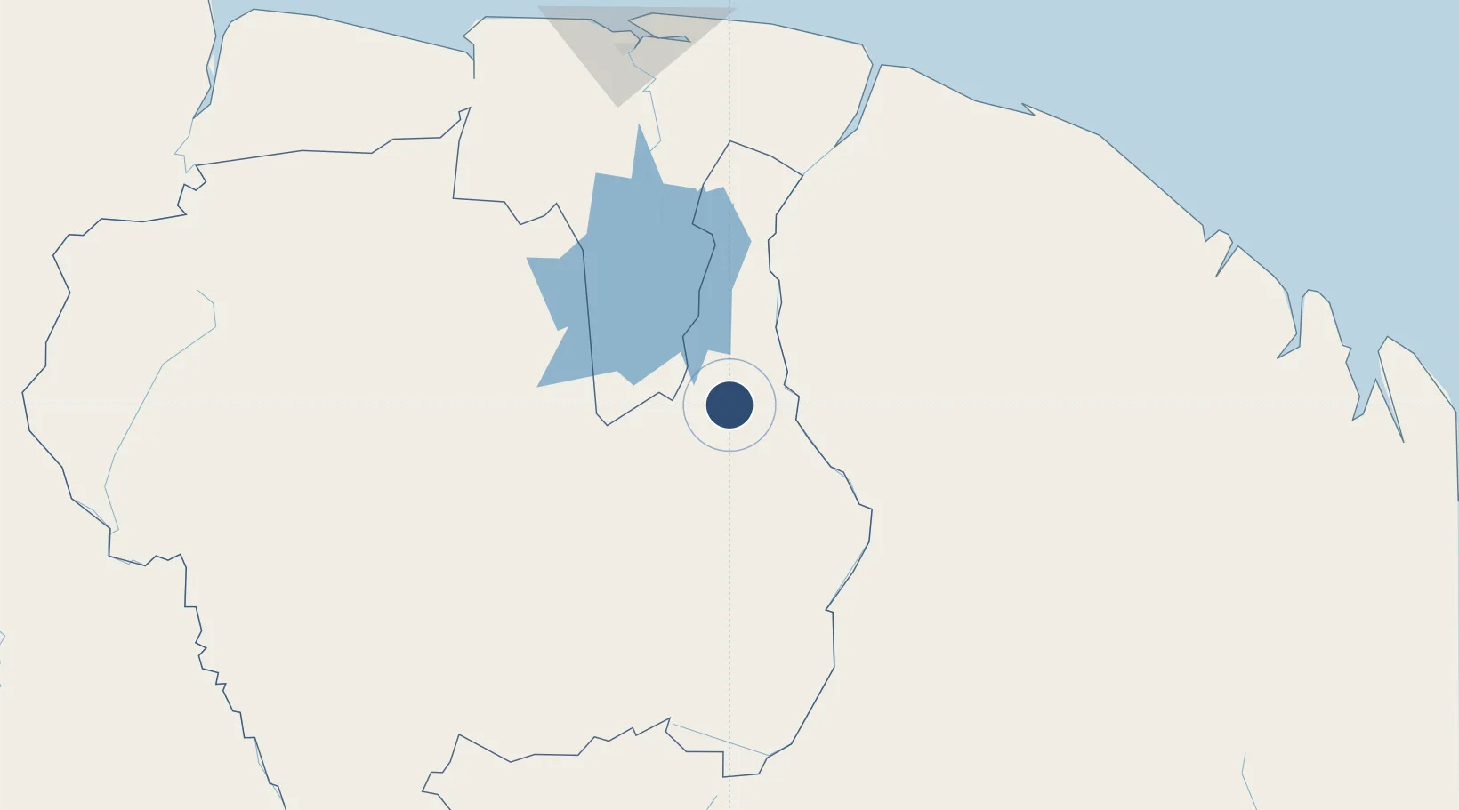
Served city
Drietabbetje
Location
Nearby Logistics Neighbours
Airports
- 1Godo Holo Airstrip14 km
- 2Cottica Airstrip57 km
- 3Tabiki Airstrip81 km
- 4Maripasoula Airport87 km
- 5Afobakka Airstrip105 km
Cities
- 1Saint-Laurent-du-Maroni170 km
- 2Lelydorp187 km
- 3Awala-Yalimapo193 km
- 4Paramaribo197 km
- 5Kwatta200 km
Ports
- 1Moengo172 km
- 2Paranam174 km
- 3Paramaribo199 km
- 4Degrad Des Cannes279 km
- 5Nieuw Nickerie329 km
Trade Zones
- 1Coldingen Industrial Estate474 km
- 2Eccles Industrial Estate487 km
- 3Ruimveldt Industrial Estate488 km
- 4Lethem Industrial Estate575 km
- 5ZPE de Boa Vista (RR)685 km
DatabookThe Record of Consolidated Knowledge
Suriname beyond logistics?