Transport Functions
Multimodal
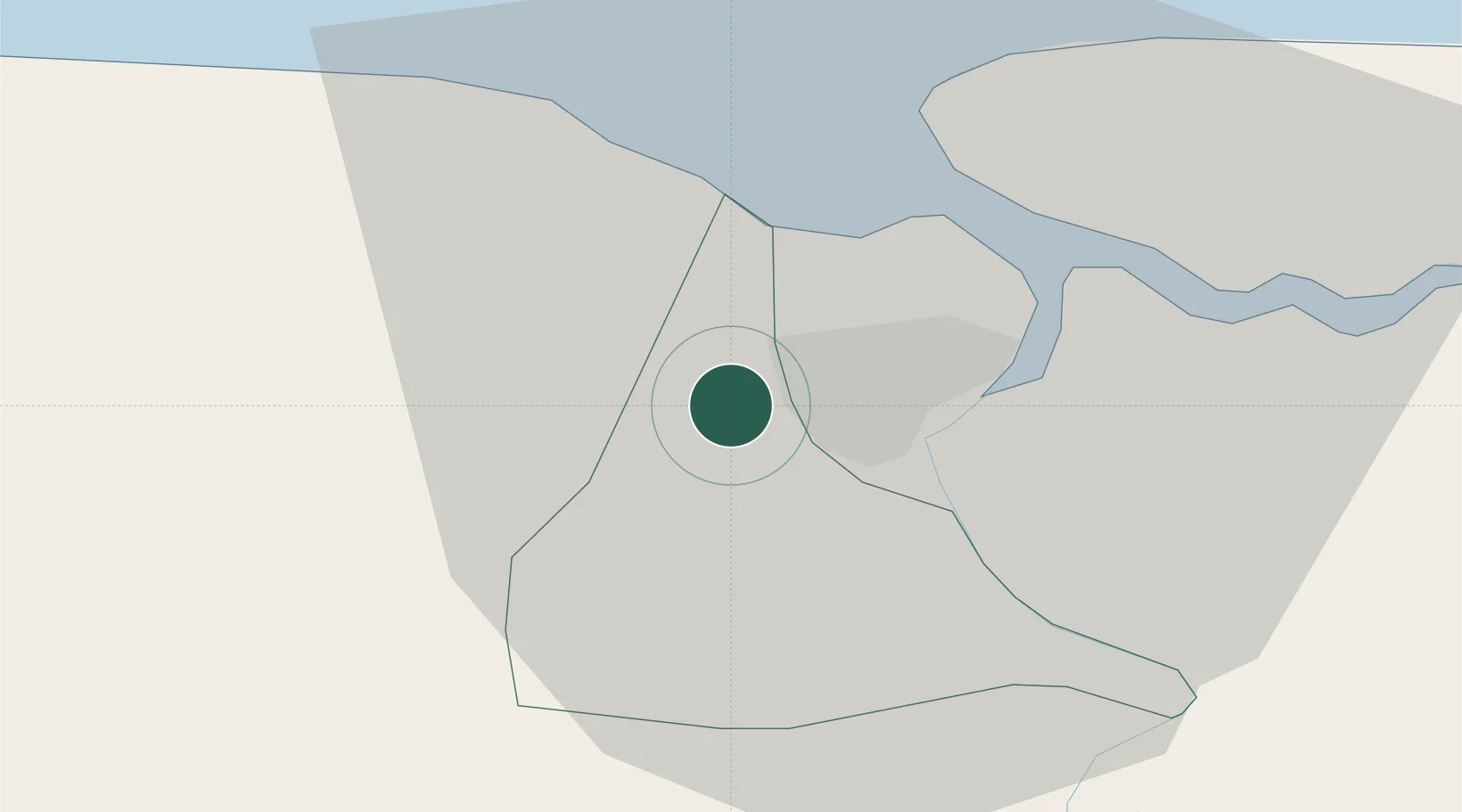
Location
Nearby Logistics Neighbours
Cities
- 1Paramaribo9 km
- 2Lelydorp13 km
- 3Saint-Laurent-du-Maroni139 km
- 4Awala-Yalimapo146 km
- 5Rosignol258 km
Ports
- 1Paramaribo9 km
- 2Paranam28 km
- 3Moengo94 km
- 4Nieuw Nickerie194 km
- 5New Amsterdam255 km
Airports
Trade Zones
- 1Coldingen Industrial Estate324 km
- 2Eccles Industrial Estate339 km
- 3Ruimveldt Industrial Estate340 km
- 4Lethem Industrial Estate572 km
- 5Free Port of Santa Elena de Uairén663 km
DatabookThe Record of Consolidated Knowledge
Suriname beyond logistics?