Transport Functions
Port
Rail
Multimodal
Hub Profile
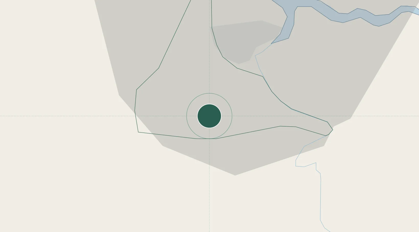
Place type
Regional capital
Region
Wanica District
Population
18,223
Time zone
America/Paramaribo
Elevation
8 m
Location
Nearby Logistics Neighbours
Cities
- 1Kwatta13 km
- 2Paramaribo15 km
- 3Saint-Laurent-du-Maroni135 km
- 4Awala-Yalimapo144 km
- 5Rosignol263 km
Ports
- 1Paramaribo17 km
- 2Paranam17 km
- 3Moengo91 km
- 4Nieuw Nickerie197 km
- 5New Amsterdam260 km
Airports
Trade Zones
- 1Coldingen Industrial Estate330 km
- 2Eccles Industrial Estate345 km
- 3Ruimveldt Industrial Estate346 km
- 4Lethem Industrial Estate568 km
- 5Free Port of Santa Elena de Uairén662 km
DatabookThe Record of Consolidated Knowledge
Suriname beyond logistics?