Transport Functions
Port
Airport
Postal
Hub Profile
Place type
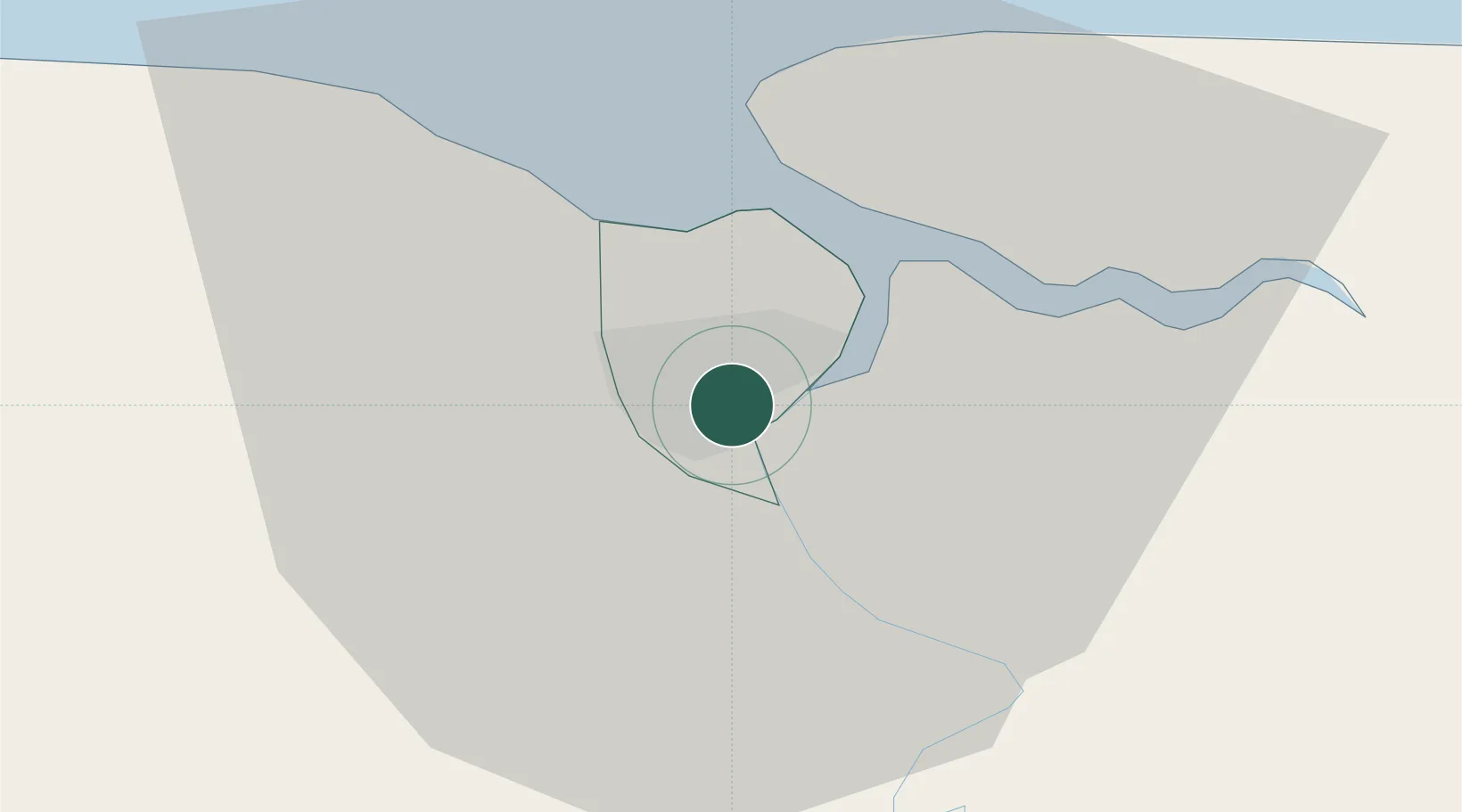
National capital
Region
Paramaribo District
Population
223,757
Time zone
America/Paramaribo
Elevation
5 m
Logistics facilities
3
Location
Nearby Logistics Neighbours
Cities
- 1Kwatta9 km
- 2Lelydorp15 km
- 3Saint-Laurent-du-Maroni130 km
- 4Awala-Yalimapo137 km
- 5Rosignol267 km
Ports
- 1Paranam23 km
- 2Moengo85 km
- 3Nieuw Nickerie203 km
- 4New Amsterdam264 km
- 5Degrad Des Cannes339 km
Airports
Trade Zones
- 1Coldingen Industrial Estate333 km
- 2Eccles Industrial Estate348 km
- 3Ruimveldt Industrial Estate349 km
- 4Lethem Industrial Estate580 km
- 5Free Port of Santa Elena de Uairén672 km
DatabookThe Record of Consolidated Knowledge
Suriname beyond logistics?