Medium airport · Colombia

José Celestino Mutis AirportSKBS
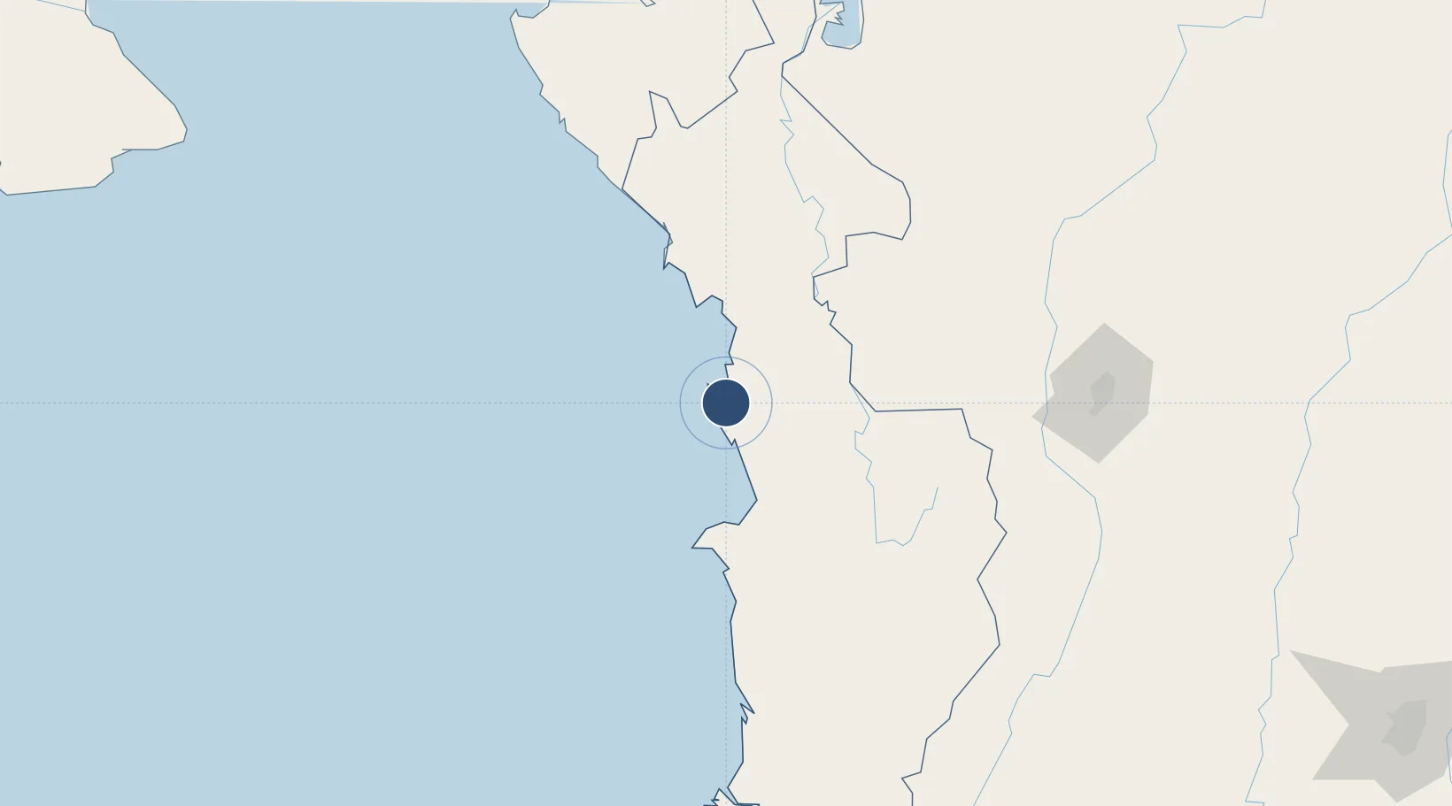
6.2029°, -77.3947°
3,973 ft
Longest runway
2
Runways
80 ft
Elevation

Runway & Layout

José Celestino Mutis Airport runway & taxiway layout
Runway & taxiway layout — OpenStreetMap (ODbL) / OurAirports

Radio Frequencies

TWR
118.3 MHz
RDO
348.8 MHz
BAHIA SOLANO RDO
OurAirports

Navaids

BHS NDB Bahia Solano 240 kHz
OurAirports

Runways · 2

RunwayDimensions SurfaceTrue headingLit
18/36 3,973 × 78ft Asphalt 174°
17/35 Unknown
OurAirports

Airport Specifications

IATA code
BSC
OurAirports
ICAO code
SKBS
OurAirports
Airport class
Medium airport
OurAirports
Scheduled service
Yes
OurAirports
Runway surface
Asphalt
OurAirports
Served city
Bahía Solano
OurAirports

Location

Location of SKBS
Natural Earth 10m (public domain) · Chocó · SKBS · 6.20, -77.39GoogleOSMYandex

Nearby Logistics Neighbours

Airports
  1. 1Reyes Murillo Airport57 km
  2. 2El Caraño Airport101 km
  3. 3Bahia Piña Airport177 km
  4. 4Antonio Roldán Betancur Airport194 km
  5. 5Enrique Olaya Herrera Airport199 km
Nearest neighbours — logibook spatial index (haversine) over the source coordinates
Cities
  1. 1Antioquia179 km
  2. 2Itagui198 km
  3. 3El Poblado202 km
  4. 4Turbo207 km
  5. 5Rionegro222 km
Nearest neighbours — logibook spatial index (haversine) over the source coordinates
Ports
  1. 1Turbo222 km
  2. 2Buenaventura261 km
  3. 3Vacamonte388 km
  4. 4Balboa388 km
  5. 5Covenas404 km
Nearest neighbours — logibook spatial index (haversine) over the source coordinates
Trade Zones
  1. 1Zona Franca Internacional Del Valle De Aburrá195 km
  2. 2Uraba Permanent Free Trade Zone202 km
  3. 3Zona Franca Rio Negro219 km
  4. 4Pereira International Free Trade Zone223 km
  5. 5Zona Franca Andina243 km
Nearest neighbours — logibook spatial index (haversine) over the source coordinates
DatabookThe Record of Consolidated Knowledge
Colombia beyond logistics?
Browse databook

All Sources

AirportsOurAirports
Public domain
Portsthe NGA World Port Index
Public domain (US gov)
LocationsUN/LOCODE
UN/LOCODE — free
Trade Zonesthe World Bank SEZ database
CC BY 4.0
Trade ZonesOpen Zone Map
CC BY
InfrastructureOpenStreetMap
ODbL 1.0
← Colombia airports