Small airport · Colombia

La Pedrera AirportSKLP
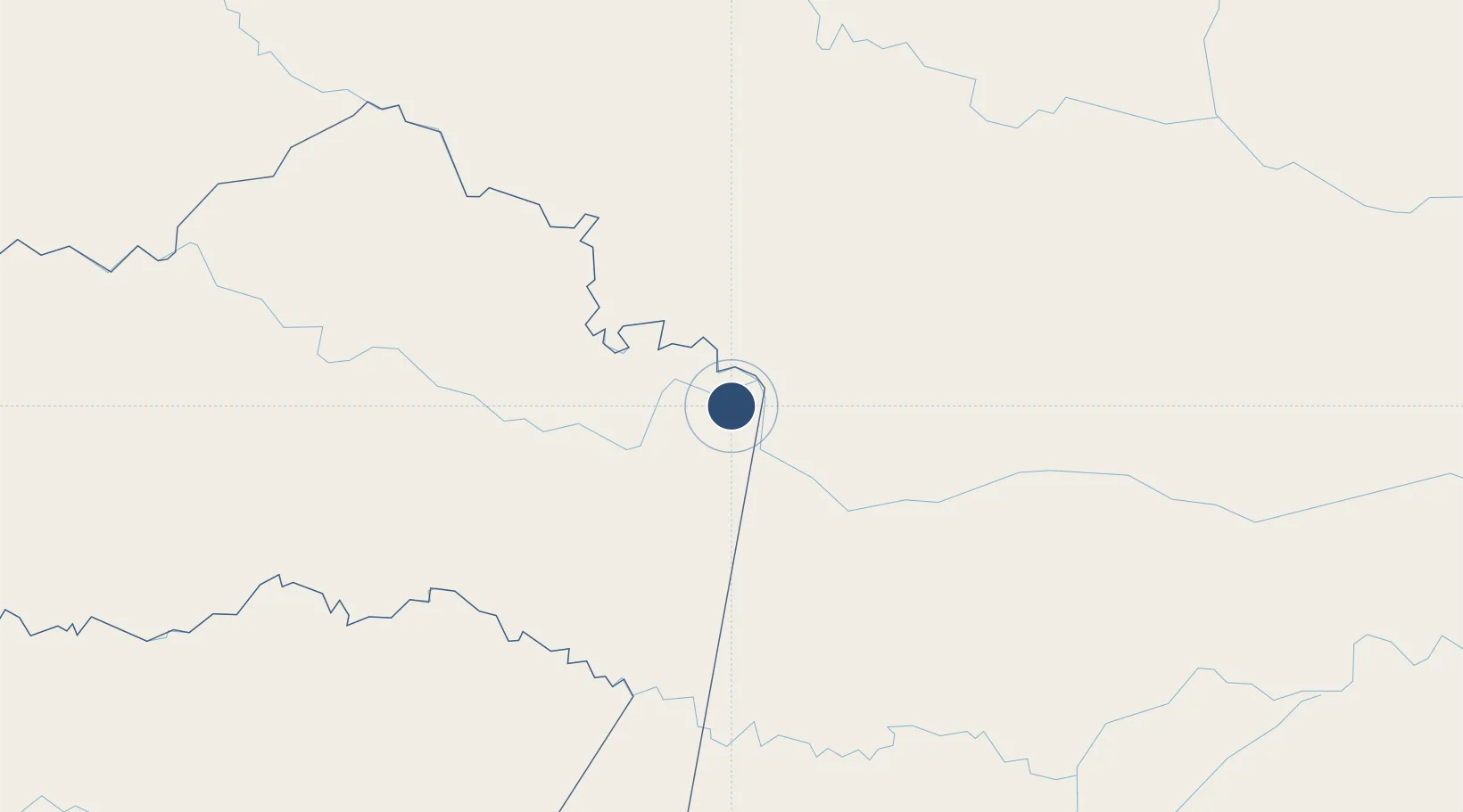
-1.3249°, -69.5813°
5,643 ft
Longest runway
1
Runways
590 ft
Elevation

Runway & Layout

La Pedrera Airport runway & taxiway layout
Runway & taxiway layout — OpenStreetMap (ODbL) / OurAirports

Navaids

LPD NDB La Pedrera 315 kHz
OurAirports

Runways · 1

RunwayDimensions SurfaceTrue headingLit
15/33 5,643 × —ft Unknown
OurAirports

Airport Specifications

IATA code
LPD
OurAirports
ICAO code
SKLP
OurAirports
Airport class
Small airport
OurAirports
Scheduled service
Yes
OurAirports
Runway surface
Unknown
OurAirports
Served city
La Pedrera
OurAirports

Location

Location of SKLP
Natural Earth 10m (public domain) · Amazonas · SKLP · -1.32, -69.58GoogleOSMYandex

Nearby Logistics Neighbours

Airports
  1. 1Tarapacá Airport176 km
  2. 2Fabio Alberto Leon Bentley Airport296 km
  3. 3Caballococha Airport306 km
  4. 4São Gabriel da Cachoeira Airport317 km
  5. 5Alfredo Vásquez Cobo International Airport321 km
Nearest neighbours — logibook spatial index (haversine) over the source coordinates
Cities
  1. 1São Paulo de Olivença247 km
  2. 2Arica255 km
  3. 3Tonantins264 km
  4. 4Simon Bolivar315 km
  5. 5Tabatinga324 km
Nearest neighbours — logibook spatial index (haversine) over the source coordinates
Ports
  1. 1Iquitos487 km
  2. 2Buenaventura1014 km
  3. 3Tumaco1078 km
  4. 4Manaus1082 km
  5. 5Esmeraldas1149 km
Nearest neighbours — logibook spatial index (haversine) over the source coordinates
Trade Zones
  1. 1Surcolombiana Free Trade Zone793 km
  2. 2Bogota Free Trade Zone839 km
  3. 3Metropolitana Free Trade Zone845 km
  4. 4Zona Franca INTEXZONA846 km
  5. 5Celta Trade Park846 km
Nearest neighbours — logibook spatial index (haversine) over the source coordinates
DatabookThe Record of Consolidated Knowledge
Colombia beyond logistics?
Browse databook

All Sources

AirportsOurAirports
Public domain
Portsthe NGA World Port Index
Public domain (US gov)
LocationsUN/LOCODE
UN/LOCODE — free
Trade Zonesthe World Bank SEZ database
CC BY 4.0
Trade ZonesOpen Zone Map
CC BY
InfrastructureOpenStreetMap
ODbL 1.0
← Colombia airports