Medium airport · Colombia
Fabio Alberto Leon Bentley AirportSKMU
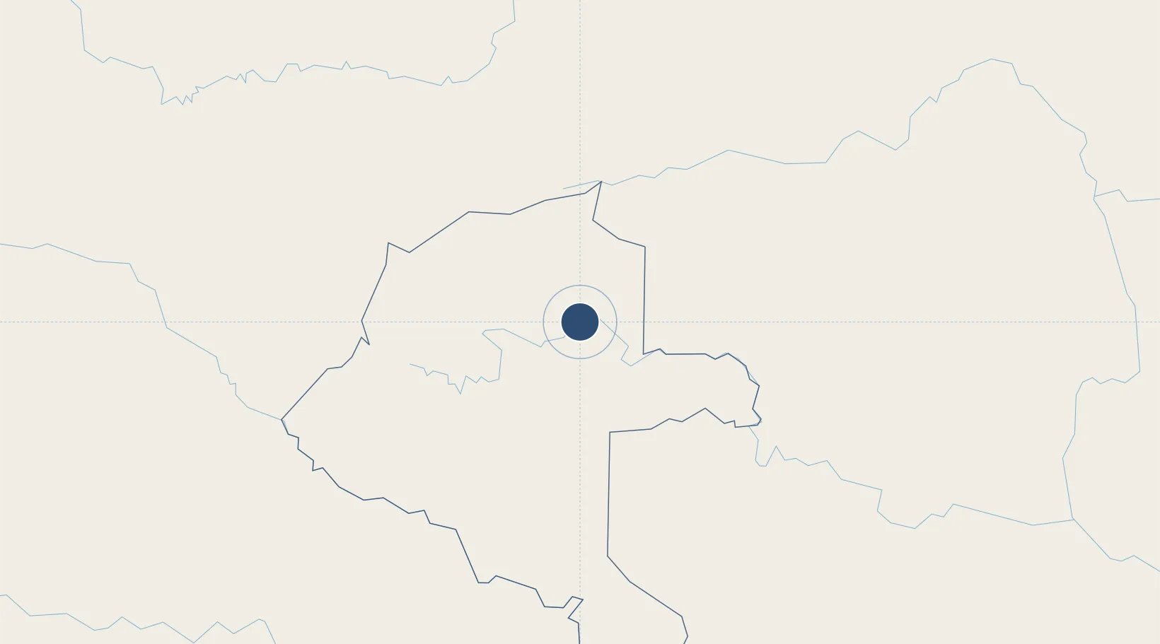
1.2537°, -70.2339°
5,889 ft
Longest runway
1
Runways
680 ft
Elevation
Runway & Layout

Radio Frequencies
TWR
118.1 MHz
RDO
348.8 MHz
MITU RDO
Navaids
MTU VOR-DME Mitu 112.20 MHz
MTU NDB Mitu 413 kHz
Runways · 1
| Runway | Dimensions | Surface | True heading | Lit |
|---|---|---|---|---|
| 02/20 | 5,889 × 66ft | Asphalt | 011° | ✓ |
Airport Specifications
IATA code
MVP
ICAO code
SKMU
Airport class
Medium airport
Scheduled service
Yes
Runway surface
Asphalt
Served city
Mitú
Location
Nearby Logistics Neighbours
Airports
- 1La Pedrera Airport296 km
- 2Jorge E. Gonzalez Torres Airport305 km
- 3Obando Cesar Gaviria Trujillo Airport388 km
- 4São Gabriel da Cachoeira Airport393 km
- 5La Macarena Airport408 km
Cities
- 1Arica410 km
- 2Acacías495 km
- 3Tonantins532 km
- 4São Paulo de Olivença543 km
- 5Tocancipá578 km
Ports
- 1Iquitos649 km
- 2Buenaventura813 km
- 3Tumaco949 km
- 4San Lorenzo953 km
- 5Turbo1046 km
Trade Zones
- 1Bogota Free Trade Zone578 km
- 2EXENNTA Zona Franca Gachancipa580 km
- 3Metropolitana Free Trade Zone583 km
- 4Zona Franca de Tocancipa584 km
- 5Zona Franca INTEXZONA584 km
DatabookThe Record of Consolidated Knowledge
Colombia beyond logistics?