Small airport · Colombia

Tarapacá AirportSKRA
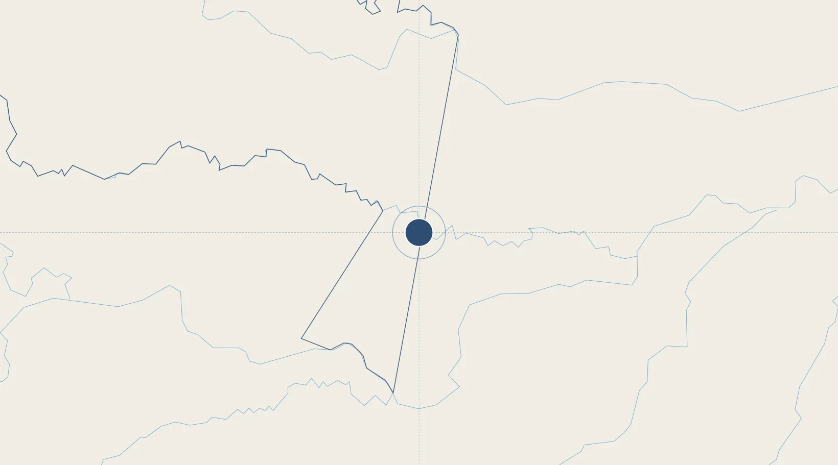
-2.8958°, -69.7498°
3,527 ft
Longest runway
1
Runways
253 ft
Elevation

Runway & Layout

Tarapacá Airport runway & taxiway layout
Runway & taxiway layout — OpenStreetMap (ODbL) / OurAirports

Runways · 1

RunwayDimensions SurfaceTrue headingLit
07/25 3,527 × —ft Asphalt
OurAirports

Airport Specifications

IATA code
TCD
OurAirports
ICAO code
SKRA
OurAirports
Airport class
Small airport
OurAirports
Scheduled service
Yes
OurAirports
Runway surface
Asphalt
OurAirports
Served city
Tarapacá
OurAirports

Location

Location of SKRA
Natural Earth 10m (public domain) · Amazonas · SKRA · -2.90, -69.75GoogleOSMYandex

Nearby Logistics Neighbours

Airports
  1. 1Caballococha Airport141 km
  2. 2Alfredo Vásquez Cobo International Airport146 km
  3. 3Tabatinga International Airport153 km
  4. 4La Pedrera Airport176 km
  5. 5Virgilio Barco Vargas (La Chorrera) Airport375 km
Nearest neighbours — logibook spatial index (haversine) over the source coordinates
Cities
  1. 1São Paulo de Olivença110 km
  2. 2Simon Bolivar140 km
  3. 3Tabatinga148 km
  4. 4Leticia148 km
  5. 5Benjamin Constant166 km
Nearest neighbours — logibook spatial index (haversine) over the source coordinates
Ports
  1. 1Iquitos398 km
  2. 2Manaus1081 km
  3. 3Buenaventura1109 km
  4. 4Guayaquil1128 km
  5. 5Tumaco1129 km
Nearest neighbours — logibook spatial index (haversine) over the source coordinates
Trade Zones
  1. 1ZPE do Acre (AC)833 km
  2. 2Surcolombiana Free Trade Zone895 km
  3. 3Cobija Commercial and Industrial Free Zone922 km
  4. 4Bogota Free Trade Zone974 km
  5. 5Metropolitana Free Trade Zone981 km
Nearest neighbours — logibook spatial index (haversine) over the source coordinates
DatabookThe Record of Consolidated Knowledge
Colombia beyond logistics?
Browse databook

All Sources

AirportsOurAirports
Public domain
Portsthe NGA World Port Index
Public domain (US gov)
LocationsUN/LOCODE
UN/LOCODE — free
Trade Zonesthe World Bank SEZ database
CC BY 4.0
Trade ZonesOpen Zone Map
CC BY
InfrastructureOpenStreetMap
ODbL 1.0
← Colombia airports