Transport Functions
Port
Multimodal
Hub Profile
Place type
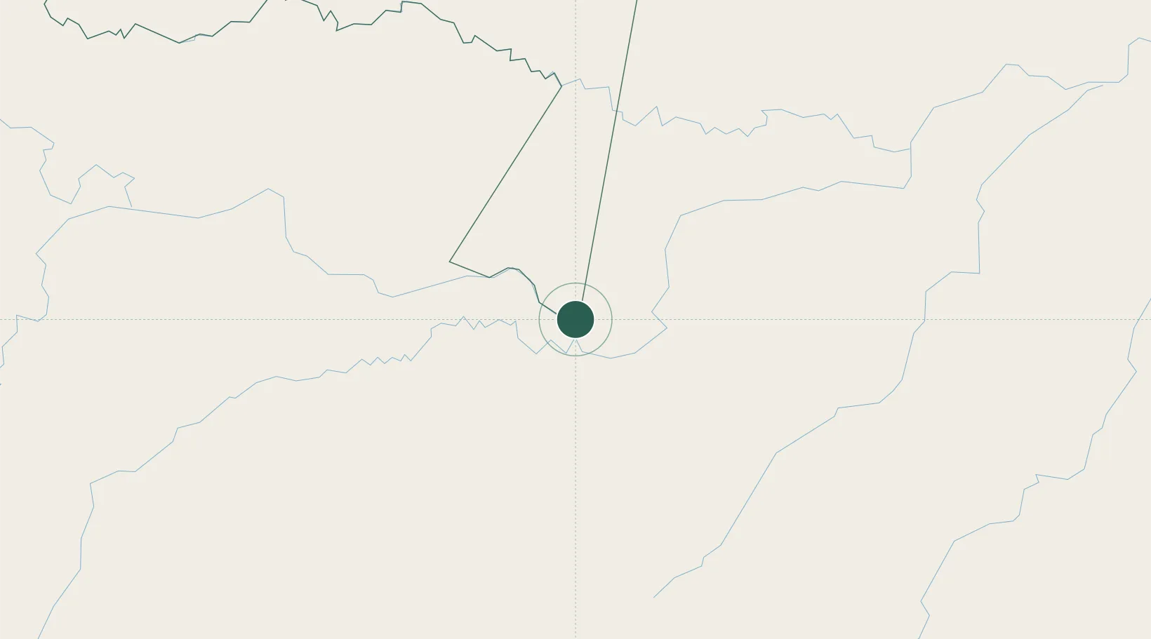
Populated place
Region
Amazonas Department
Time zone
America/Bogota
Elevation
81 m
Location
Nearby Logistics Neighbours
Cities
- 1Tabatinga10 km
- 2Leticia10 km
- 3Benjamin Constant27 km
- 4São Paulo de Olivença138 km
- 5Eirunepé282 km
Ports
- 1Iquitos365 km
- 2Salaverry1096 km
- 3Puerto De Chimbote1102 km
- 4Manaus1110 km
- 5Puerto Bolivar1118 km
Airports
Trade Zones
- 1ZPE do Acre (AC)711 km
- 2Cobija Commercial and Industrial Free Zone789 km
- 3Surcolombiana Free Trade Zone984 km
- 4Metrozona Quito1031 km
- 5Corpaq Tabalela (Quiport)1034 km
DatabookThe Record of Consolidated Knowledge
Colombia beyond logistics?