Transport Functions
Port
Road
Hub Profile
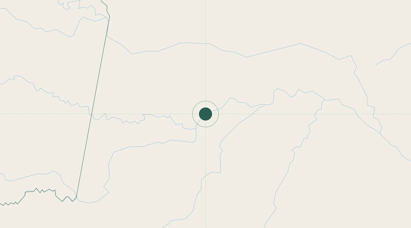
Place type
Populated place
Region
Amazonas
Population
20,224
Time zone
America/Manaus
Elevation
55 m
Location
Nearby Logistics Neighbours
Cities
- 1São Paulo de Olivença146 km
- 2Fonte Boa191 km
- 3Carauari245 km
- 4Simon Bolivar283 km
- 5Tabatinga285 km
Ports
- 1Iquitos615 km
- 2Manaus861 km
- 3Itacoatiara1035 km
- 4Buenaventura1276 km
- 5Puerto Supe1412 km
Airports
- 1Tarapacá Airport220 km
- 2Carauari Airport245 km
- 3La Pedrera Airport264 km
- 4Alfredo Vásquez Cobo International Airport284 km
- 5Tabatinga International Airport287 km
Trade Zones
DatabookThe Record of Consolidated Knowledge
Brazil beyond logistics?