Transport Functions
Port
Road
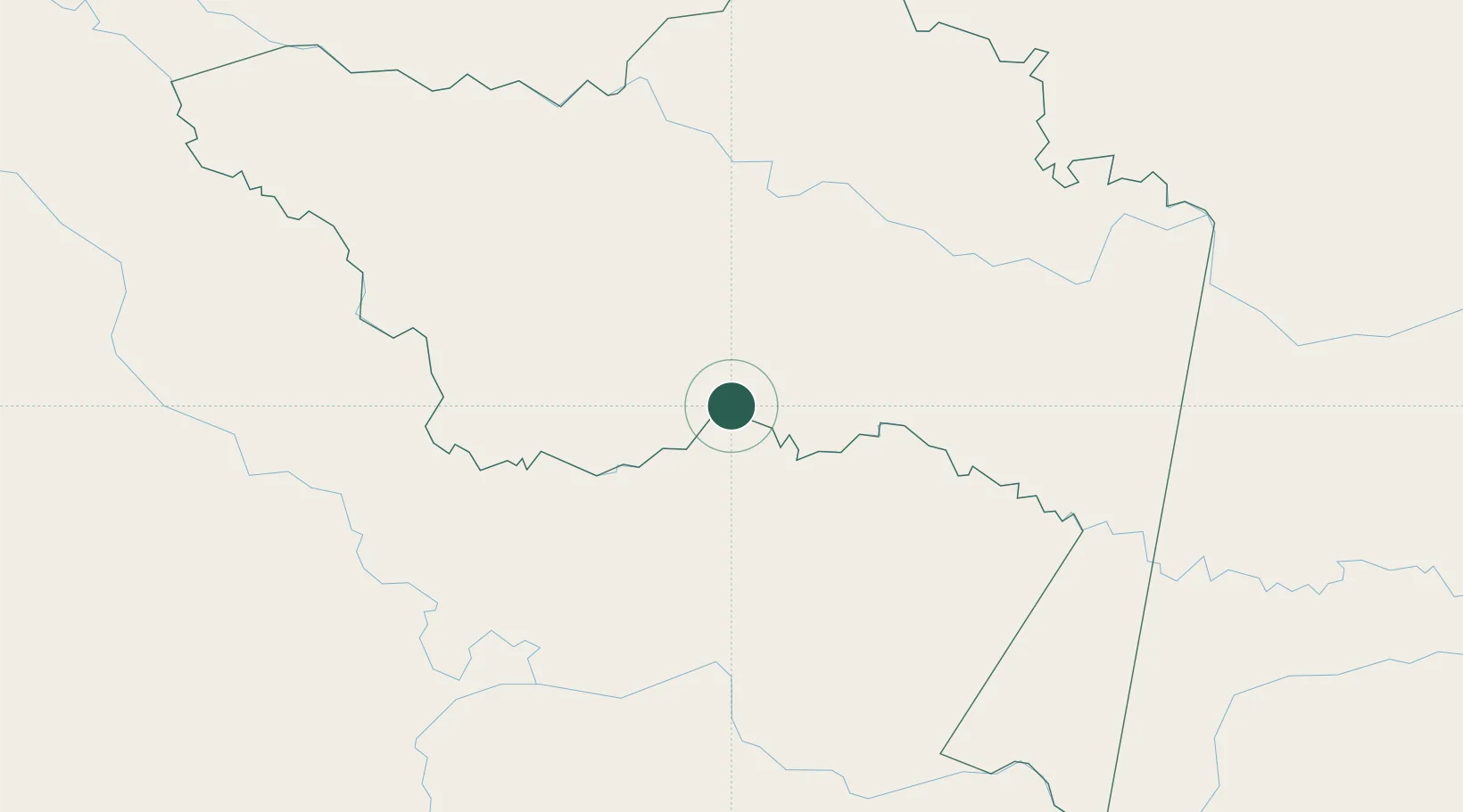
Location
Nearby Logistics Neighbours
Cities
- 1Simon Bolivar298 km
- 2Tabatinga307 km
- 3Leticia307 km
- 4Benjamin Constant315 km
- 5São Paulo de Olivença345 km
Ports
- 1Iquitos246 km
- 2Buenaventura892 km
- 3Tumaco894 km
- 4Guayaquil906 km
- 5Puerto Maritimo De Guayaquil908 km
Airports
Trade Zones
- 1Surcolombiana Free Trade Zone687 km
- 2Metrozona Quito767 km
- 3Corpaq Tabalela (Quiport)770 km
- 4Zona Franca Millestonecorp781 km
- 5Zona Franca Parque Sur787 km
DatabookThe Record of Consolidated Knowledge
Colombia beyond logistics?