Medium airport · Peru

Caballococha AirportSPBC
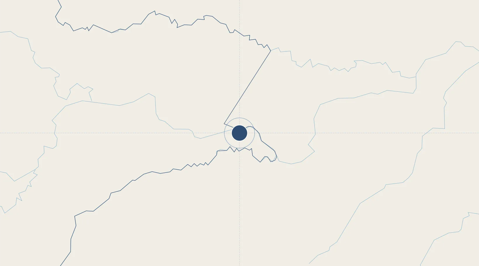
-3.9169°, -70.5082°
5,905 ft
Longest runway
1
Runways
328 ft
Elevation

Runway & Layout

Caballococha Airport runway & taxiway layout
Runway & taxiway layout — OpenStreetMap (ODbL) / OurAirports

Runways · 1

RunwayDimensions SurfaceTrue headingLit
12/30 5,905 × 98ft Asphalt 117°
OurAirports

Airport Specifications

ICAO code
SPBC
OurAirports
Airport class
Medium airport
OurAirports
Scheduled service
No
OurAirports
Runway surface
Asphalt
OurAirports
Served city
Caballococha
OurAirports

Location

Location of SPBC
Natural Earth 10m (public domain) · Loreto · SPBC · -3.92, -70.51GoogleOSMYandex

Nearby Logistics Neighbours

Airports
  1. 1Alfredo Vásquez Cobo International Airport70 km
  2. 2Tabatinga International Airport74 km
  3. 3Tarapacá Airport141 km
  4. 4La Pedrera Airport306 km
  5. 5Coronel FAP Francisco Secada Vignetta International Airport311 km
Nearest neighbours — logibook spatial index (haversine) over the source coordinates
Cities
  1. 1Simon Bolivar65 km
  2. 2Tabatinga72 km
  3. 3Leticia72 km
  4. 4Benjamin Constant74 km
  5. 5São Paulo de Olivença182 km
Nearest neighbours — logibook spatial index (haversine) over the source coordinates
Ports
  1. 1Iquitos303 km
  2. 2Salaverry1053 km
  3. 3Puerto Bolivar1056 km
  4. 4Guayaquil1058 km
  5. 5Puerto Maritimo De Guayaquil1059 km
Nearest neighbours — logibook spatial index (haversine) over the source coordinates
Trade Zones
  1. 1ZPE do Acre (AC)756 km
  2. 2Cobija Commercial and Industrial Free Zone824 km
  3. 3Surcolombiana Free Trade Zone929 km
  4. 4Metrozona Quito967 km
  5. 5Corpaq Tabalela (Quiport)969 km
Nearest neighbours — logibook spatial index (haversine) over the source coordinates
DatabookThe Record of Consolidated Knowledge
Peru beyond logistics?
Browse databook

All Sources

AirportsOurAirports
Public domain
Portsthe NGA World Port Index
Public domain (US gov)
LocationsUN/LOCODE
UN/LOCODE — free
Trade Zonesthe World Bank SEZ database
CC BY 4.0
Trade ZonesOpen Zone Map
CC BY
InfrastructureOpenStreetMap
ODbL 1.0
← Peru airports