Medium airport · Colombia
Alfredo Vásquez Cobo International AirportSKLT
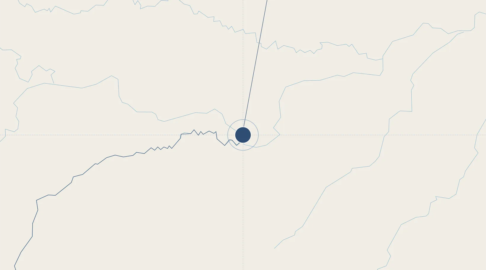
-4.1911°, -69.9420°
6,168 ft
Longest runway
1
Runways
277 ft
Elevation
Runway & Layout

Radio Frequencies
TWR
118.1 MHz
APP
119.1 MHz
LETICIA APP
RDO
127.5 MHz
LETICIA RDO
Navaids
LET VOR-DME Leticia 117.50 MHz
LET NDB Leticia 407 kHz
Runways · 1
| Runway | Dimensions | Surface | True heading | Lit |
|---|---|---|---|---|
| 03/21 | 6,168 × 131ft | Asphalt | 021° | ✓ |
Airport Specifications
IATA code
LET
ICAO code
SKLT
Airport class
Medium airport
Scheduled service
Yes
Runway surface
Asphalt
Served city
Leticia
Location
Nearby Logistics Neighbours
Airports
- 1Tabatinga International Airport7 km
- 2Caballococha Airport70 km
- 3Tarapacá Airport146 km
- 4La Pedrera Airport321 km
- 5Carauari Airport346 km
Cities
- 1Tabatinga3 km
- 2Leticia3 km
- 3Simon Bolivar7 km
- 4Benjamin Constant21 km
- 5São Paulo de Olivença139 km
Ports
- 1Iquitos368 km
- 2Salaverry1096 km
- 3Puerto De Chimbote1102 km
- 4Manaus1108 km
- 5Punta Lobitos (Bahia De Huarmey)1120 km
Trade Zones
- 1ZPE do Acre (AC)704 km
- 2Cobija Commercial and Industrial Free Zone782 km
- 3Surcolombiana Free Trade Zone990 km
- 4Metrozona Quito1036 km
- 5Corpaq Tabalela (Quiport)1039 km
DatabookThe Record of Consolidated Knowledge
Colombia beyond logistics?