Medium airport · Brazil

São Gabriel da Cachoeira AirportSBUA
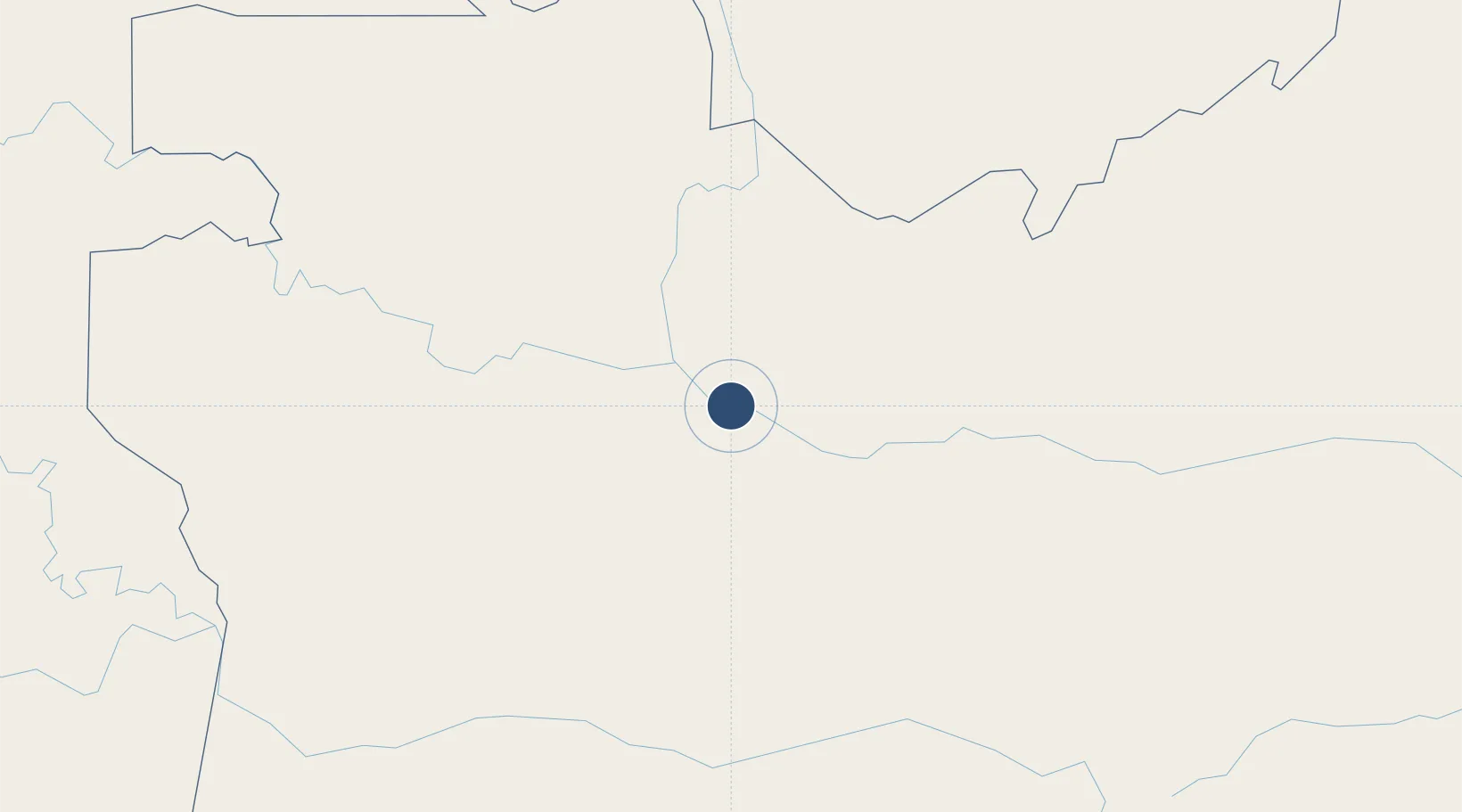
-0.1484°, -66.9855°
8,530 ft
Longest runway
1
Runways
249 ft
Elevation

Runway & Layout

São Gabriel da Cachoeira Airport runway & taxiway layout
Runway & taxiway layout — OpenStreetMap (ODbL) / OurAirports

Radio Frequencies

AFIS
125.7 MHz
GABRIEL RDO
OurAirports

Navaids

SGC VOR-DME Gabriel 115.40 MHz
SGC NDB Gabriel 215 kHz
OurAirports

Runways · 1

RunwayDimensions SurfaceTrue headingLit
5/23 8,530 × 148ft Asphalt
OurAirports

Airport Specifications

IATA code
SJL
OurAirports
ICAO code
SBUA
OurAirports
Airport class
Medium airport
OurAirports
Scheduled service
Yes
OurAirports
Runway surface
Asphalt
OurAirports
Served city
São Gabriel da Cachoeira
OurAirports

Location

Location of SBUA
Natural Earth 10m (public domain) · Amazonas · SBUA · -0.15, -66.99GoogleOSMYandex

Nearby Logistics Neighbours

Airports
  1. 1Tapuruquara Airport223 km
  2. 2La Pedrera Airport317 km
  3. 3Fabio Alberto Leon Bentley Airport393 km
  4. 4Tarapacá Airport433 km
  5. 5Tefé Airport439 km
Nearest neighbours — logibook spatial index (haversine) over the source coordinates
Cities
  1. 1Santa Isabel do Rio Negro221 km
  2. 2Fonte Boa280 km
  3. 3Tonantins313 km
  4. 4São Paulo de Olivença426 km
  5. 5Tefé436 km
Nearest neighbours — logibook spatial index (haversine) over the source coordinates
Ports
  1. 1Iquitos801 km
  2. 2Manaus843 km
  3. 3Ciudad Bolivar997 km
  4. 4Itacoatiara1006 km
  5. 5Puerto Ordaz1057 km
Nearest neighbours — logibook spatial index (haversine) over the source coordinates
Trade Zones
  1. 1ZPE de Boa Vista (RR)772 km
  2. 2Free Port of Santa Elena de Uairén840 km
  3. 3Zona Franca de Manaus - Suframa (Manaus Free Zone)847 km
  4. 4Lethem Industrial Estate890 km
  5. 5EXENNTA Zona Franca Gachancipa955 km
Nearest neighbours — logibook spatial index (haversine) over the source coordinates
DatabookThe Record of Consolidated Knowledge
Brazil beyond logistics?
Browse databook

All Sources

AirportsOurAirports
Public domain
Portsthe NGA World Port Index
Public domain (US gov)
LocationsUN/LOCODE
UN/LOCODE — free
Trade Zonesthe World Bank SEZ database
CC BY 4.0
Trade ZonesOpen Zone Map
CC BY
InfrastructureOpenStreetMap
ODbL 1.0
← Brazil airports