Small airport · Colombia
Caucaya AirportSKLG
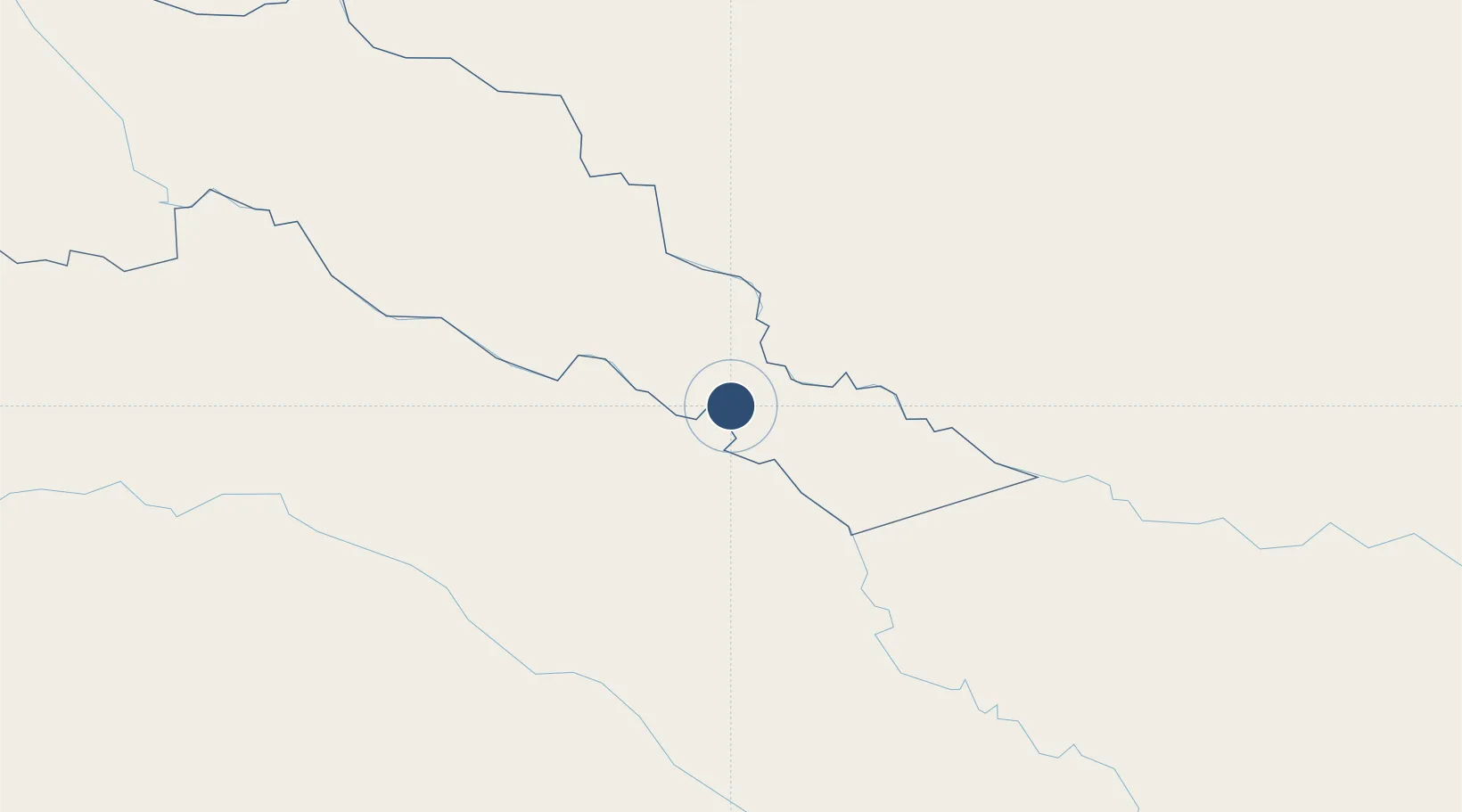
-0.1823°, -74.7708°
3,937 ft
Longest runway
1
Runways
573 ft
Elevation
Runway & Layout

Radio Frequencies
TWR
346.75 MHz
LEGUIZAMO TWR
RDO
348.8 MHz
LEGUIZAMO RDO
Navaids
PLG VOR-DME Puerto Leguizamo 112.80 MHz
Runways · 1
| Runway | Dimensions | Surface | True heading | Lit |
|---|---|---|---|---|
| 12/30 | 3,937 × 82ft | Asphalt | 117° | — |
Airport Specifications
IATA code
LQM
ICAO code
SKLG
Airport class
Small airport
Scheduled service
Yes
Runway surface
Asphalt
Served city
Puerto Leguízamo
Location
Nearby Logistics Neighbours
Airports
- 1Captain Ernesto Esguerra Cubides Air Base115 km
- 2Tarapoa Airport174 km
- 3Tres De Mayo Airport207 km
- 4Gustavo Artunduaga Paredes Airport216 km
- 5Francisco De Orellana Airport248 km
Cities
- 1Puerto Asís207 km
- 2Puerto Limón236 km
- 3Coca246 km
- 4Tena350 km
- 5Balboa367 km
Ports
- 1Iquitos432 km
- 2Tumaco495 km
- 3Buenaventura519 km
- 4Esmeraldas558 km
- 5Guayaquil611 km
Trade Zones
- 1Surcolombiana Free Trade Zone349 km
- 2Metrozona Quito398 km
- 3Corpaq Tabalela (Quiport)400 km
- 4Zona Franca Millestonecorp413 km
- 5Zona Franca Mitad del Mundo415 km
DatabookThe Record of Consolidated Knowledge
Colombia beyond logistics?