Medium airport · Colombia

Tres De Mayo AirportSKAS
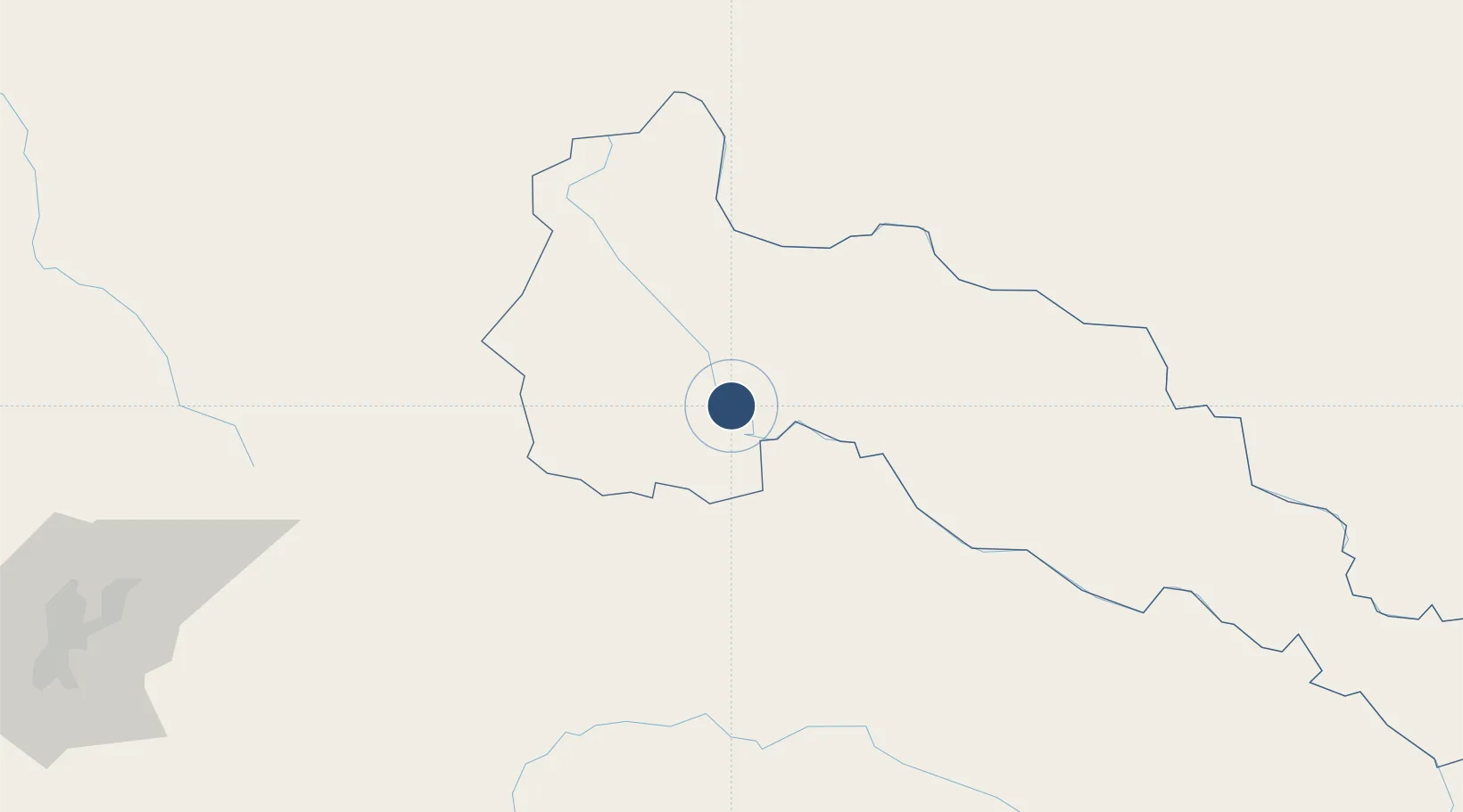
0.5052°, -76.5008°
5,331 ft
Longest runway
2
Runways
815 ft
Elevation

Runway & Layout

Tres De Mayo Airport runway & taxiway layout
Runway & taxiway layout — OpenStreetMap (ODbL) / OurAirports

Radio Frequencies

TWR
118.1 MHz
RDO
348.8 MHz
PUERTO ASIS RDO
OurAirports

Navaids

SIS NDB Puerto Asis 330 kHz
OurAirports

Runways · 2

RunwayDimensions SurfaceTrue headingLit
01/19 5,331 × 131ft Asphalt 009°
02/20 Unknown
OurAirports

Airport Specifications

IATA code
PUU
OurAirports
ICAO code
SKAS
OurAirports
Airport class
Medium airport
OurAirports
Scheduled service
Yes
OurAirports
Runway surface
Asphalt
OurAirports
Served city
Puerto Asís
OurAirports

Location

Location of SKAS
Natural Earth 10m (public domain) · Putumayo · SKAS · 0.51, -76.50GoogleOSMYandex

Nearby Logistics Neighbours

Airports
  1. 1Tarapoa Airport72 km
  2. 2Francisco De Orellana Airport121 km
  3. 3Antonio Nariño Airport133 km
  4. 4San Luis Airport136 km
  5. 5Lieutenant Colonel Luis A. Mantilla International Airport138 km
Nearest neighbours — logibook spatial index (haversine) over the source coordinates
Cities
  1. 1Puerto Asís1 km
  2. 2Puerto Limón61 km
  3. 3Coca122 km
  4. 4Balboa188 km
  5. 5Puyo197 km
Nearest neighbours — logibook spatial index (haversine) over the source coordinates
Ports
  1. 1Tumaco290 km
  2. 2Esmeraldas354 km
  3. 3Buenaventura381 km
  4. 4Guayaquil482 km
  5. 5Puerto Maritimo De Guayaquil489 km
Nearest neighbours — logibook spatial index (haversine) over the source coordinates
Trade Zones
  1. 1Metrozona Quito218 km
  2. 2Corpaq Tabalela (Quiport)219 km
  3. 3Zona Franca Mitad del Mundo229 km
  4. 4Zona Franca Millestonecorp233 km
  5. 5Zona Franca Parque Sur296 km
Nearest neighbours — logibook spatial index (haversine) over the source coordinates
DatabookThe Record of Consolidated Knowledge
Colombia beyond logistics?
Browse databook

All Sources

AirportsOurAirports
Public domain
Portsthe NGA World Port Index
Public domain (US gov)
LocationsUN/LOCODE
UN/LOCODE — free
Trade Zonesthe World Bank SEZ database
CC BY 4.0
Trade ZonesOpen Zone Map
CC BY
InfrastructureOpenStreetMap
ODbL 1.0
← Colombia airports