Transport Functions
Multimodal
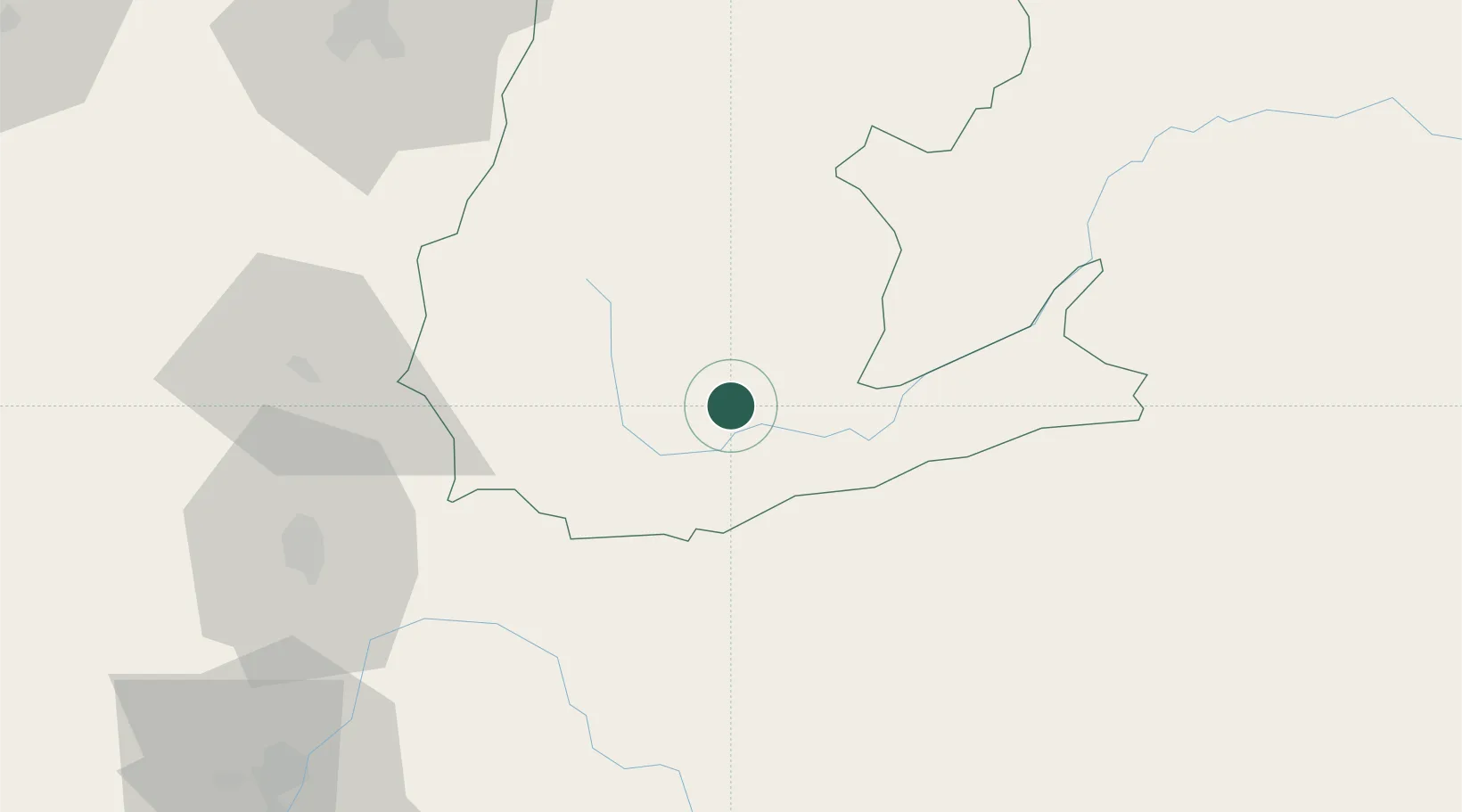
Hub Profile
Place type
Regional capital
Region
Napo
Population
17,172
Time zone
America/Guayaquil
Elevation
610 m
Location
Nearby Logistics Neighbours
Cities
- 1El Triunfo74 km
- 2Pelileo88 km
- 3Machachi99 km
- 4Tisaleo103 km
- 5Coca110 km
Ports
- 1Guayaquil267 km
- 2Puerto Maritimo De Guayaquil273 km
- 3Esmeraldas300 km
- 4Manta322 km
- 5Tumaco328 km
Airports
Trade Zones
- 1Metrozona Quito110 km
- 2Corpaq Tabalela (Quiport)113 km
- 3Zona Franca Millestonecorp117 km
- 4Zona Franca Mitad del Mundo133 km
- 5Zona Franca Esmeraldas268 km
DatabookThe Record of Consolidated Knowledge
Ecuador beyond logistics?