Medium airport · Colombia

Captain Ernesto Esguerra Cubides Air BaseSKTQ
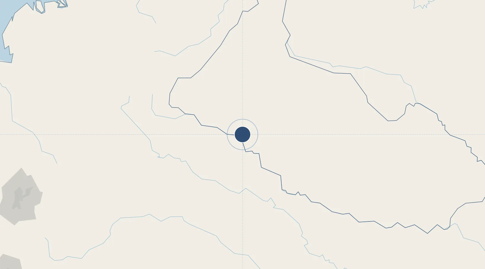
0.7459°, -75.2340°
6,220 ft
Longest runway
1
Runways
585 ft
Elevation

Runway & Layout

Captain Ernesto Esguerra Cubides Air Base runway & taxiway layout
Runway & taxiway layout — OpenStreetMap (ODbL) / OurAirports

Radio Frequencies

TWR
117.3 MHz
ERNESTO ESGUERRA TWR
GND
126 MHz
APP
122.3 MHz
A/D
124.5 MHz
CTL
RDO
555.6 MHz
OurAirports

Navaids

TQS VOR-DME Tres Esquinas 114.20 MHz
OurAirports

Runways · 1

RunwayDimensions SurfaceTrue headingLit
07/25 6,220 × 79ft Concrete 064°
OurAirports

Airport Specifications

IATA code
TQS
OurAirports
ICAO code
SKTQ
OurAirports
Airport class
Medium airport
OurAirports
Scheduled service
No
OurAirports
Runway surface
Concrete
OurAirports
Served city
Tres Esquinas
OurAirports

Location

Location of SKTQ
Natural Earth 10m (public domain) · Caquetá · SKTQ · 0.75, -75.23GoogleOSMYandex

Nearby Logistics Neighbours

Airports
  1. 1Gustavo Artunduaga Paredes Airport101 km
  2. 2Caucaya Airport115 km
  3. 3Tres De Mayo Airport143 km
  4. 4Pitalito Airport156 km
  5. 5Tarapoa Airport156 km
Nearest neighbours — logibook spatial index (haversine) over the source coordinates
Cities
  1. 1Puerto Asís143 km
  2. 2Puerto Limón145 km
  3. 3Coca236 km
  4. 4Balboa263 km
  5. 5Cauca265 km
Nearest neighbours — logibook spatial index (haversine) over the source coordinates
Ports
  1. 1Buenaventura404 km
  2. 2Tumaco409 km
  3. 3Esmeraldas492 km
  4. 4Iquitos547 km
  5. 5Guayaquil612 km
Nearest neighbours — logibook spatial index (haversine) over the source coordinates
Trade Zones
  1. 1Surcolombiana Free Trade Zone240 km
  2. 2Zona Franca Parque Sur301 km
  3. 3Permanente Del Cauca Permanent Free Trade Zone304 km
  4. 4Zona Franca Zonamerica321 km
  5. 5Palmaseca Free Trade Zone338 km
Nearest neighbours — logibook spatial index (haversine) over the source coordinates
DatabookThe Record of Consolidated Knowledge
Colombia beyond logistics?
Browse databook

All Sources

AirportsOurAirports
Public domain
Portsthe NGA World Port Index
Public domain (US gov)
LocationsUN/LOCODE
UN/LOCODE — free
Trade Zonesthe World Bank SEZ database
CC BY 4.0
Trade ZonesOpen Zone Map
CC BY
InfrastructureOpenStreetMap
ODbL 1.0
← Colombia airports