Medium airport · Ecuador
Tarapoa AirportSETR
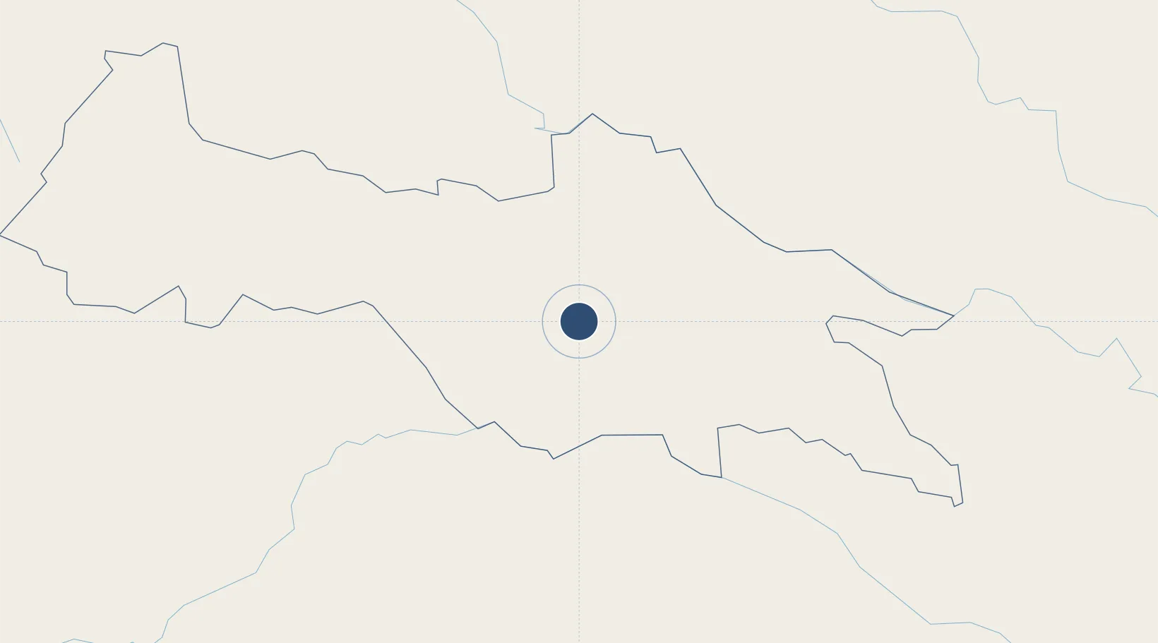
-0.1230°, -76.3378°
5,151 ft
Longest runway
1
Runways
814 ft
Elevation
Runway & Layout

Radio Frequencies
TWR
129.1 MHz
Navaids
TRP NDB Tarapoa 328 kHz
Runways · 1
| Runway | Dimensions | Surface | True heading | Lit |
|---|---|---|---|---|
| 12/30 | 5,151 × 49ft | Asphalt | 122° | ✓ |
Airport Specifications
IATA code
TPC
ICAO code
SETR
Airport class
Medium airport
Scheduled service
No
Runway surface
Asphalt
Served city
Tarapoa
Location
Nearby Logistics Neighbours
Airports
- 1Tres De Mayo Airport72 km
- 2Francisco De Orellana Airport82 km
- 3Captain Ernesto Esguerra Cubides Air Base156 km
- 4Jumandy Airport173 km
- 5Caucaya Airport174 km
Cities
- 1Puerto Asís73 km
- 2Coca81 km
- 3Puerto Limón132 km
- 4Tena190 km
- 5Cotacachi220 km
Ports
- 1Tumaco344 km
- 2Esmeraldas389 km
- 3Buenaventura453 km
- 4Guayaquil457 km
- 5Puerto Maritimo De Guayaquil463 km
Trade Zones
- 1Metrozona Quito224 km
- 2Corpaq Tabalela (Quiport)225 km
- 3Zona Franca Millestonecorp239 km
- 4Zona Franca Mitad del Mundo241 km
- 5Surcolombiana Free Trade Zone355 km
DatabookThe Record of Consolidated Knowledge
Ecuador beyond logistics?