Transport Functions
Port
Road
Airport
Multimodal
Hub Profile
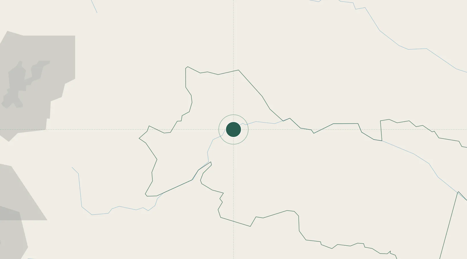
Place type
Populated place
Region
Azuay
Time zone
America/Guayaquil
Elevation
755 m
Location
Nearby Logistics Neighbours
Cities
- 1Tena110 km
- 2Puerto Asís123 km
- 3Cotacachi169 km
- 4Ruminahui175 km
- 5Machachi178 km
Ports
- 1Tumaco324 km
- 2Esmeraldas341 km
- 3Guayaquil376 km
- 4Puerto Maritimo De Guayaquil383 km
- 5Manta420 km
Airports
- 1Francisco De Orellana Airport3 km
- 2Tarapoa Airport81 km
- 3Jumandy Airport94 km
- 4Tres De Mayo Airport122 km
- 5Mariscal Sucre International Airport159 km
Trade Zones
- 1Metrozona Quito158 km
- 2Corpaq Tabalela (Quiport)160 km
- 3Zona Franca Millestonecorp172 km
- 4Zona Franca Mitad del Mundo179 km
- 5Zona Franca Esmeraldas378 km
DatabookThe Record of Consolidated Knowledge
Ecuador beyond logistics?