Medium airport · Ecuador

Francisco De Orellana AirportSECO
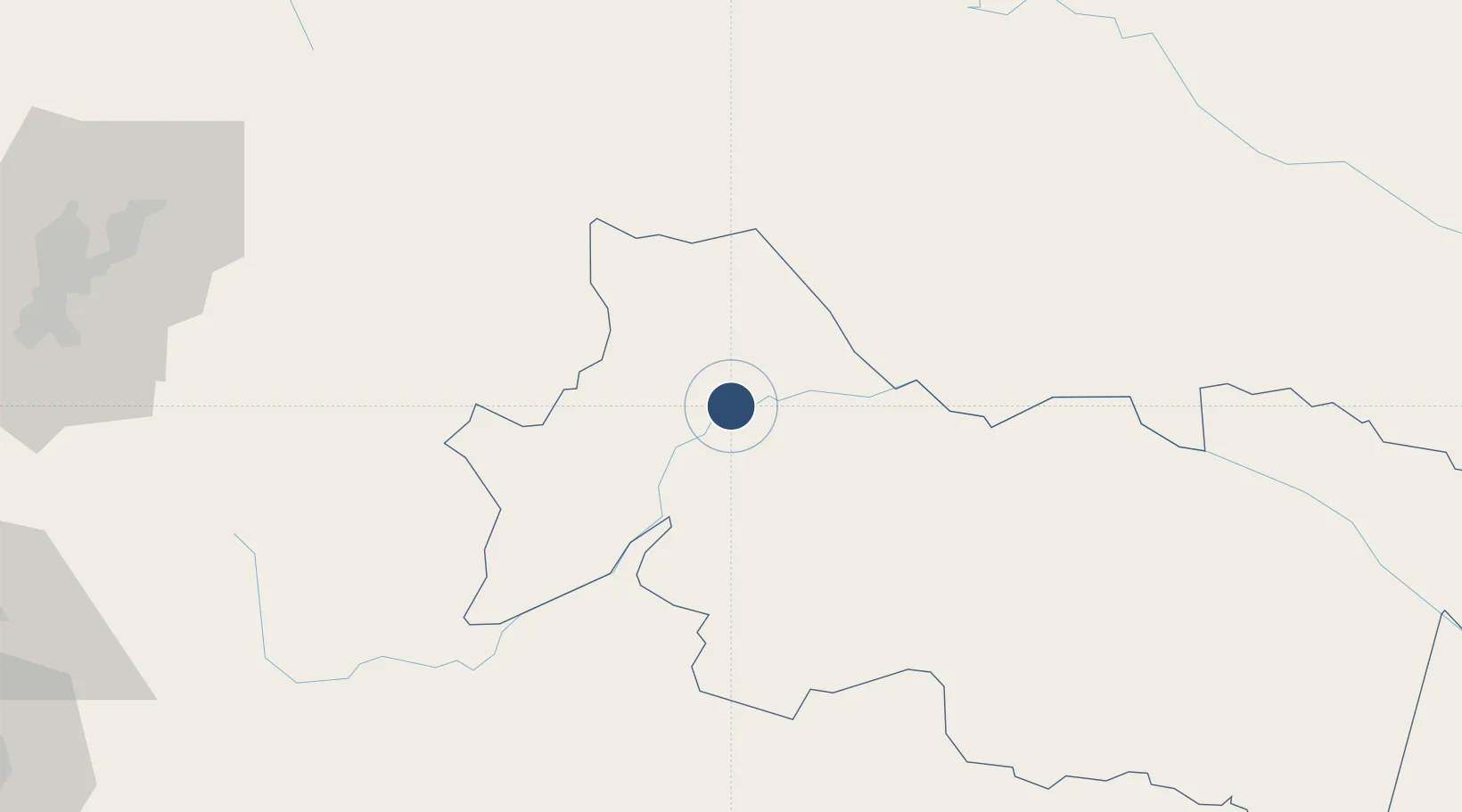
-0.4629°, -76.9868°
6,760 ft
Longest runway
1
Runways
834 ft
Elevation

Runway & Layout

Francisco De Orellana Airport runway & taxiway layout
Runway & taxiway layout — OpenStreetMap (ODbL) / OurAirports

Radio Frequencies

TWR
123.5 MHz
COCA TWR
APP
119.7 MHz
QUITO APP
RDO
126.9 MHz
OurAirports

Navaids

COC NDB Coca 322 kHz
OurAirports

Runways · 1

RunwayDimensions SurfaceTrue headingLit
16/34 6,760 × 90ft Asphalt 154°
OurAirports

Airport Specifications

IATA code
OCC
OurAirports
ICAO code
SECO
OurAirports
Airport class
Medium airport
OurAirports
Scheduled service
Yes
OurAirports
Runway surface
Asphalt
OurAirports
Served city
Coca
OurAirports

Location

Location of SECO
Natural Earth 10m (public domain) · Orellana · SECO · -0.46, -76.99GoogleOSMYandex

Nearby Logistics Neighbours

Airports
  1. 1Tarapoa Airport82 km
  2. 2Jumandy Airport94 km
  3. 3Tres De Mayo Airport121 km
  4. 4Mariscal Sucre International Airport157 km
  5. 5Lieutenant Colonel Luis A. Mantilla International Airport163 km
Nearest neighbours — logibook spatial index (haversine) over the source coordinates
Cities
  1. 1Coca3 km
  2. 2Tena109 km
  3. 3Puerto Asís122 km
  4. 4Cotacachi166 km
  5. 5Ruminahui172 km
Nearest neighbours — logibook spatial index (haversine) over the source coordinates
Ports
  1. 1Tumaco320 km
  2. 2Esmeraldas338 km
  3. 3Guayaquil376 km
  4. 4Puerto Maritimo De Guayaquil382 km
  5. 5Manta418 km
Nearest neighbours — logibook spatial index (haversine) over the source coordinates
Trade Zones
  1. 1Metrozona Quito155 km
  2. 2Corpaq Tabalela (Quiport)158 km
  3. 3Zona Franca Millestonecorp170 km
  4. 4Zona Franca Mitad del Mundo176 km
  5. 5Zona Franca Esmeraldas377 km
Nearest neighbours — logibook spatial index (haversine) over the source coordinates
DatabookThe Record of Consolidated Knowledge
Ecuador beyond logistics?
Browse databook

All Sources

AirportsOurAirports
Public domain
Portsthe NGA World Port Index
Public domain (US gov)
LocationsUN/LOCODE
UN/LOCODE — free
Trade Zonesthe World Bank SEZ database
CC BY 4.0
Trade ZonesOpen Zone Map
CC BY
InfrastructureOpenStreetMap
ODbL 1.0
← Ecuador airports