Transport Functions
Port
Rail
Road
Hub Profile
Place type
Populated place
Region
Los Ríos Region
Population
32,525
Time zone
America/Santiago
Elevation
140 m
Logistics facilities
1
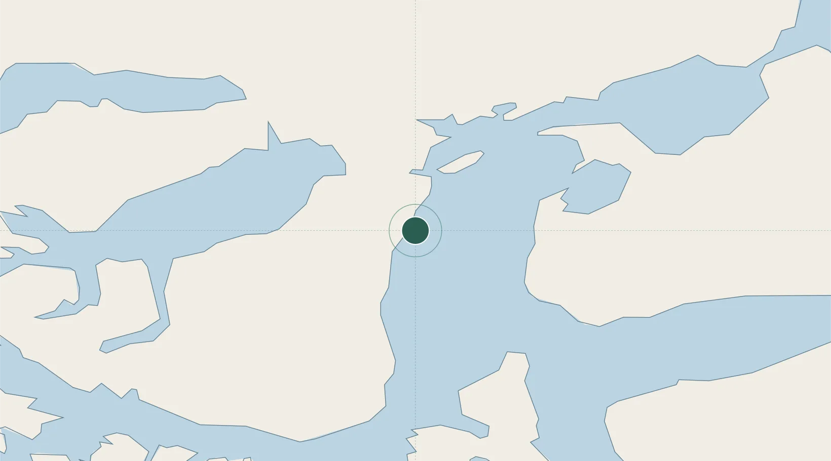
Location
Nearby Logistics Neighbours
Cities
- 1Punta Arenas1 km
- 2Tres Puentes1 km
- 3Cabo Negro17 km
- 4Bahia Laredo18 km
- 5Pecket29 km
Ports
- 1Rada Punta Arenas5 km
- 2Caleta Clarencia57 km
- 3Puerto Sara70 km
- 4San Sebastian Bay158 km
- 5Puerto Natales194 km
Airports
DatabookThe Record of Consolidated Knowledge
Chile beyond logistics?