Transport Functions
Port
Road
Hub Profile
Place type
Urban district
Region
Region of Magallanes
Time zone
America/Santiago
Elevation
163 m
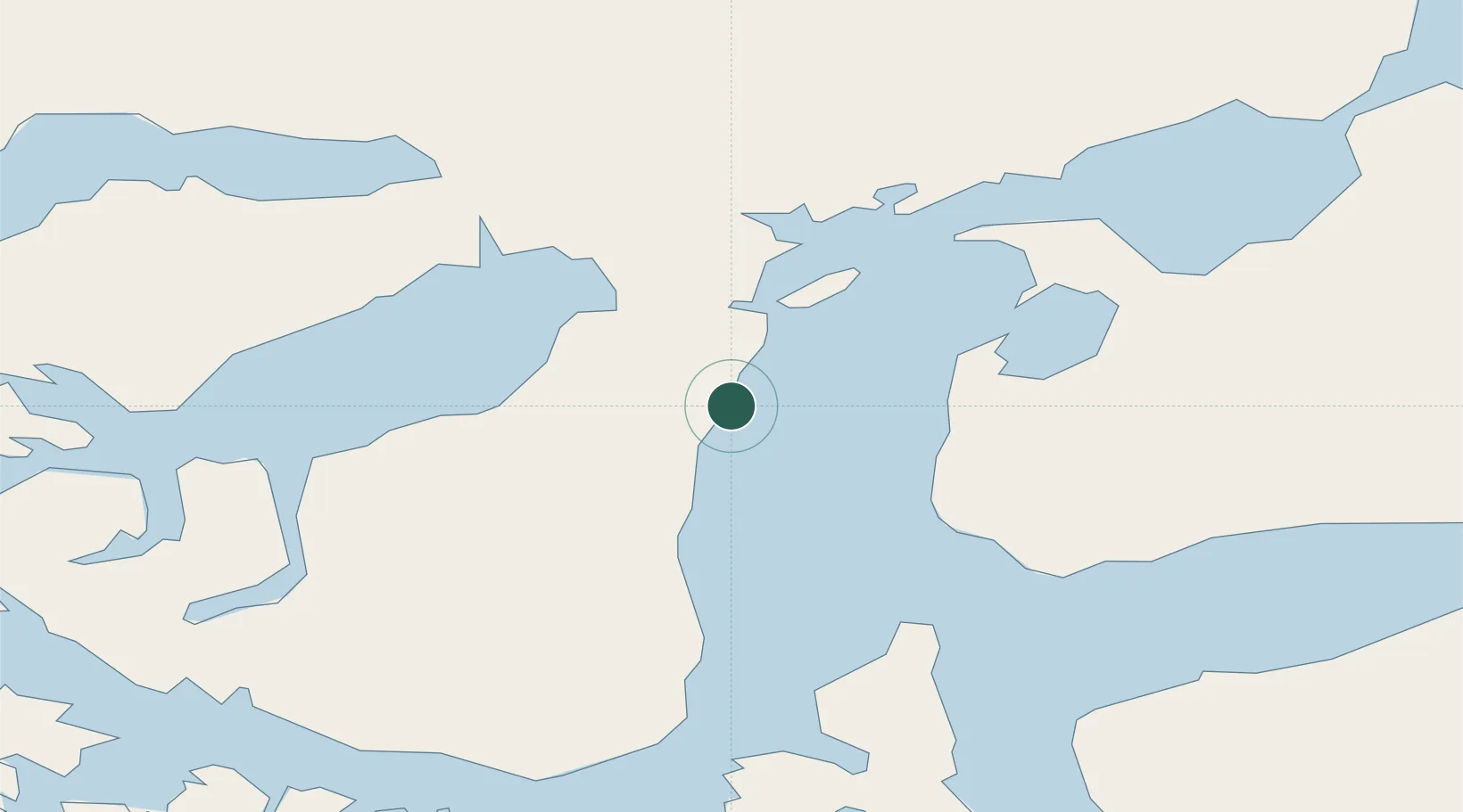
Location
Nearby Logistics Neighbours
Cities
- 1Panguipulli1 km
- 2Punta Arenas2 km
- 3Cabo Negro17 km
- 4Bahia Laredo18 km
- 5Pecket27 km
Ports
- 1Rada Punta Arenas6 km
- 2Caleta Clarencia58 km
- 3Puerto Sara71 km
- 4San Sebastian Bay159 km
- 5Puerto Natales193 km
Airports
DatabookThe Record of Consolidated Knowledge
Chile beyond logistics?