UN/LOCODE hub · Chile
CLPUQ
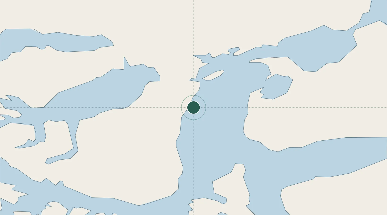
Punta Arenas
-53.1256°, -70.8586°
117,430
Population
3
Transport functions
1
Container terminals
Transport Functions
Port
Road
Airport
Hub Profile
Place type
Regional capital
Region
Region of Magallanes
Population
117,430
Time zone
America/Punta_Arenas
Logistics facilities
1
Container terminals
1
Location
Nearby Logistics Neighbours
Cities
- 1Panguipulli1 km
- 2Tres Puentes2 km
- 3Cabo Negro18 km
- 4Bahia Laredo18 km
- 5Pecket29 km
Ports
- 1Caleta Clarencia57 km
- 2Puerto Sara70 km
- 3San Sebastian Bay157 km
- 4Puerto Natales195 km
- 5Puerto Gallegos211 km
Airports
DatabookThe Record of Consolidated Knowledge
Chile beyond logistics?