Small airport · Argentina
28 de Noviembre AirportSAWT
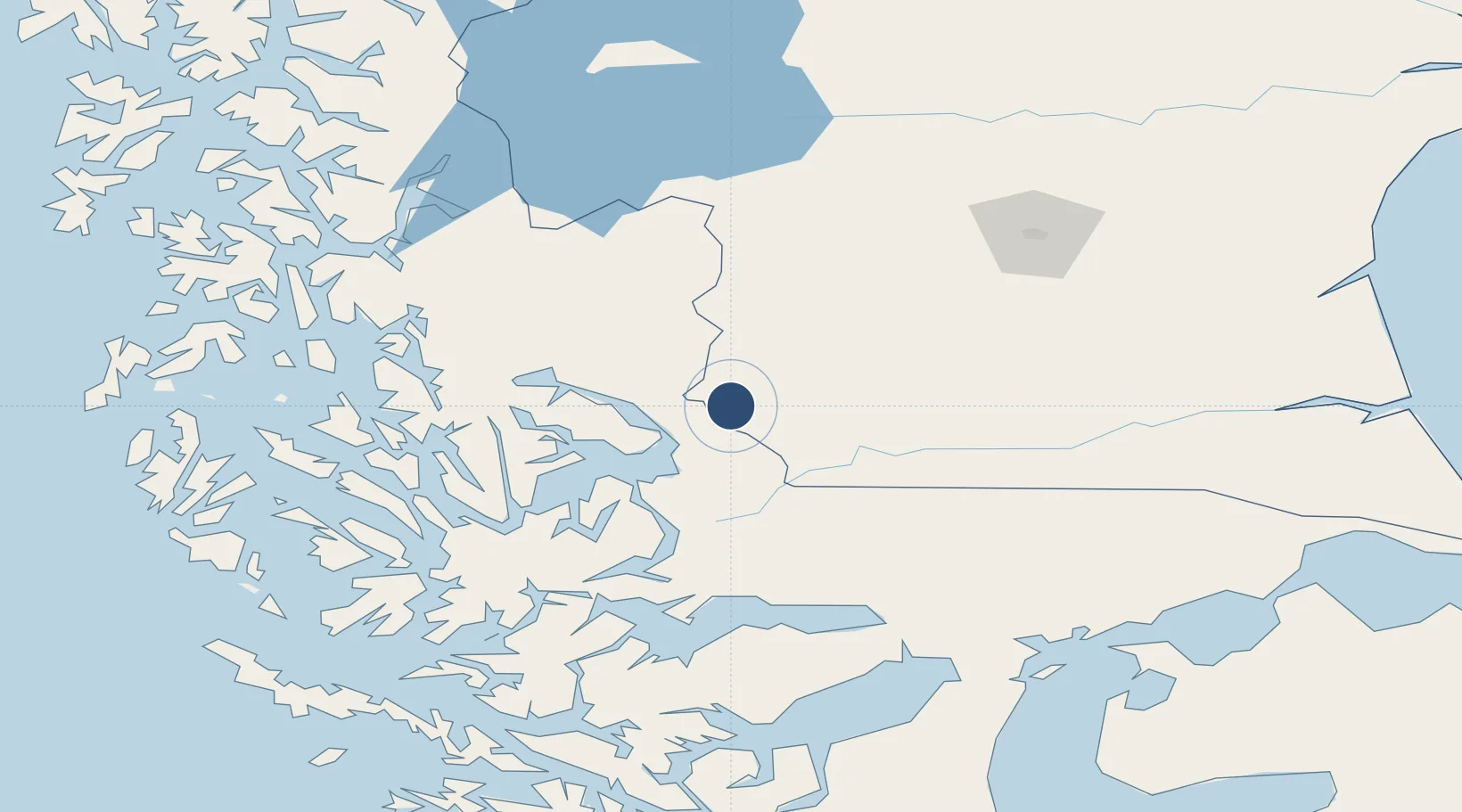
-51.6050°, -72.2203°
6,340 ft
Longest runway
1
Runways
909 ft
Elevation
Runway & Layout

Navaids
BIO NDB El Turbio 205 kHz
Runways · 1
| Runway | Dimensions | Surface | True heading | Lit |
|---|---|---|---|---|
| 06/24 | 6,340 × 100ft | Asphalt | 071° | — |
Airport Specifications
IATA code
RYO
ICAO code
SAWT
Airport class
Small airport
Scheduled service
Yes
Runway surface
Asphalt
Served city
Rio Turbio
Location
Nearby Logistics Neighbours
Airports
Cities
- 1Puerto Natales23 km
- 2Isla Guarello155 km
- 3Pecket165 km
- 4Cabo Negro178 km
- 5Bahia Laredo180 km
Ports
- 1Puerto Natales27 km
- 2Puerto Sara179 km
- 3Rada Punta Arenas195 km
- 4Caleta Clarencia204 km
- 5Puerto Gallegos225 km
DatabookThe Record of Consolidated Knowledge
Argentina beyond logistics?