Medium airport · Brazil

Parnaíba - Prefeito Doutor João Silva Filho International AirportSBPB
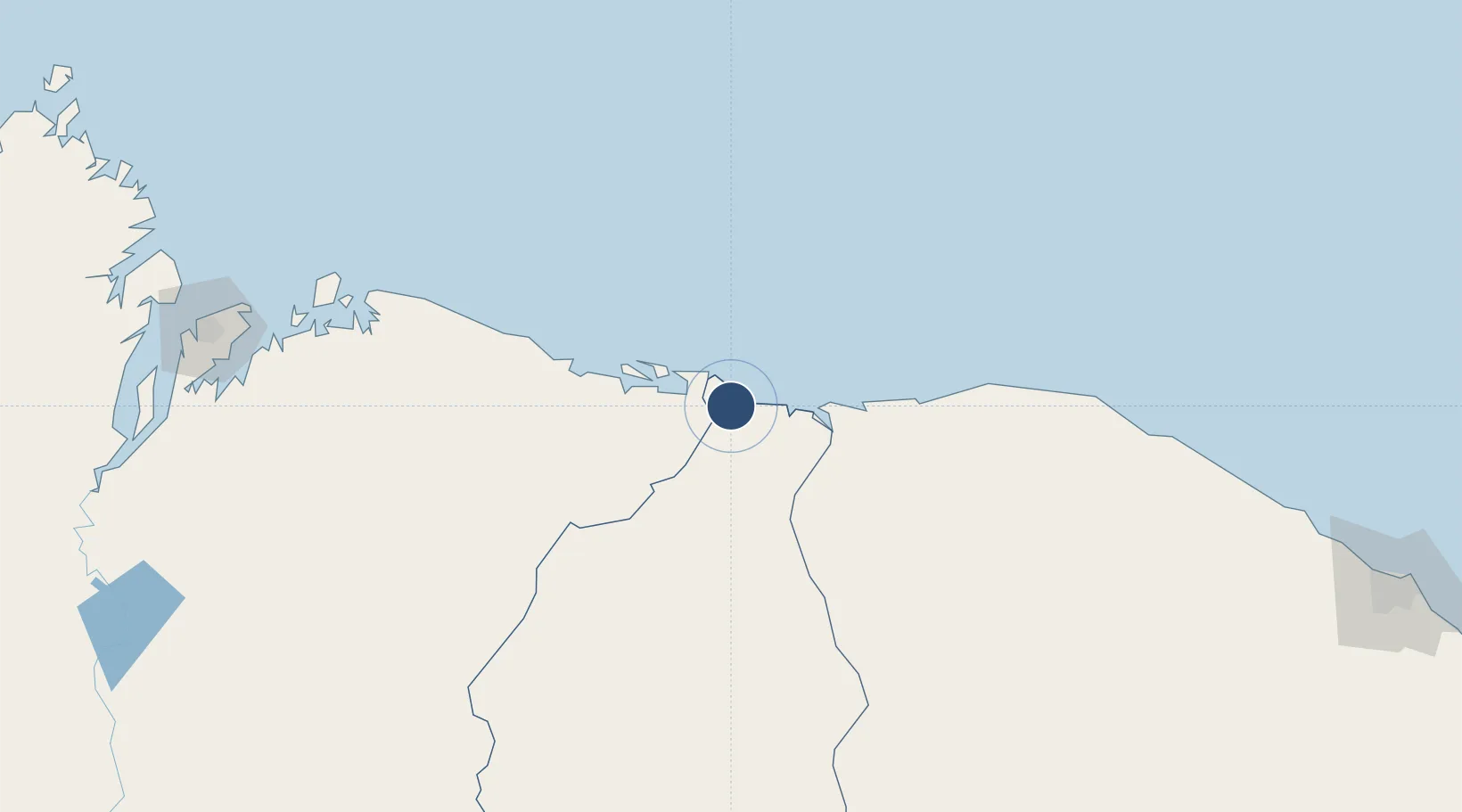
-2.8937°, -41.7320°
6,890 ft
Longest runway
1
Runways
23 ft
Elevation

Runway & Layout

Parnaíba - Prefeito Doutor João Silva Filho International Airport runway & taxiway layout
Runway & taxiway layout — OpenStreetMap (ODbL) / OurAirports

Radio Frequencies

AFIS
126.6 MHz
RDO
OurAirports

Navaids

PNB NDB Parnaiba 365 kHz
OurAirports

Runways · 1

RunwayDimensions SurfaceTrue headingLit
9/27 6,890 × 148ft Asphalt
OurAirports

Airport Specifications

IATA code
PHB
OurAirports
ICAO code
SBPB
OurAirports
Airport class
Medium airport
OurAirports
Scheduled service
Yes
OurAirports
Runway surface
Asphalt
OurAirports
Served city
Parnaíba
OurAirports

Location

Location of SBPB
Natural Earth 10m (public domain) · Piauí · SBPB · -2.89, -41.73GoogleOSMYandex

Nearby Logistics Neighbours

Airports
  1. 1Barreirinhas National Airport120 km
  2. 2Comandante Ariston Pessoa Airport153 km
  3. 3Dr. Luciano de Arruda Coelho Regional Airport185 km
  4. 4Senador Petrônio Portela Airport270 km
  5. 5Marechal Cunha Machado International Airport280 km
Nearest neighbours — logibook spatial index (haversine) over the source coordinates
Cities
  1. 1Sobral178 km
  2. 2Teresina271 km
  3. 3Crateús279 km
  4. 4Bacabeira285 km
  5. 5São Luís287 km
Nearest neighbours — logibook spatial index (haversine) over the source coordinates
Ports
  1. 1Tutoia62 km
  2. 2Camocim100 km
  3. 3Itaqui295 km
  4. 4Guamare Oil Terminal643 km
  5. 5Belem769 km
Nearest neighbours — logibook spatial index (haversine) over the source coordinates
Trade Zones
  1. 1ZPE de Parnaíba (PI)8 km
  2. 2ZPE de São Luís291 km
  3. 3ZPE de Pecém (CE) ( Port of Pecém)329 km
  4. 4ZPE de Macaíba (RN)771 km
  5. 5ZPE de Barcarena (PA)781 km
Nearest neighbours — logibook spatial index (haversine) over the source coordinates
DatabookThe Record of Consolidated Knowledge
Brazil beyond logistics?
Browse databook

All Sources

AirportsOurAirports
Public domain
Portsthe NGA World Port Index
Public domain (US gov)
LocationsUN/LOCODE
UN/LOCODE — free
Trade Zonesthe World Bank SEZ database
CC BY 4.0
Trade ZonesOpen Zone Map
CC BY
InfrastructureOpenStreetMap
ODbL 1.0
← Brazil airports