Runway & Layout

Radio Frequencies
Free
123.45 MHz
Tráfico Barreirinhas
Runways · 1
| Runway | Dimensions | Surface | True heading | Lit |
|---|---|---|---|---|
| 11/29 | — | Asph | — | — |
Airport Specifications
IATA code
BRB
ICAO code
SSRS
Airport class
Small airport
Scheduled service
Yes
Served city
Barreirinhas
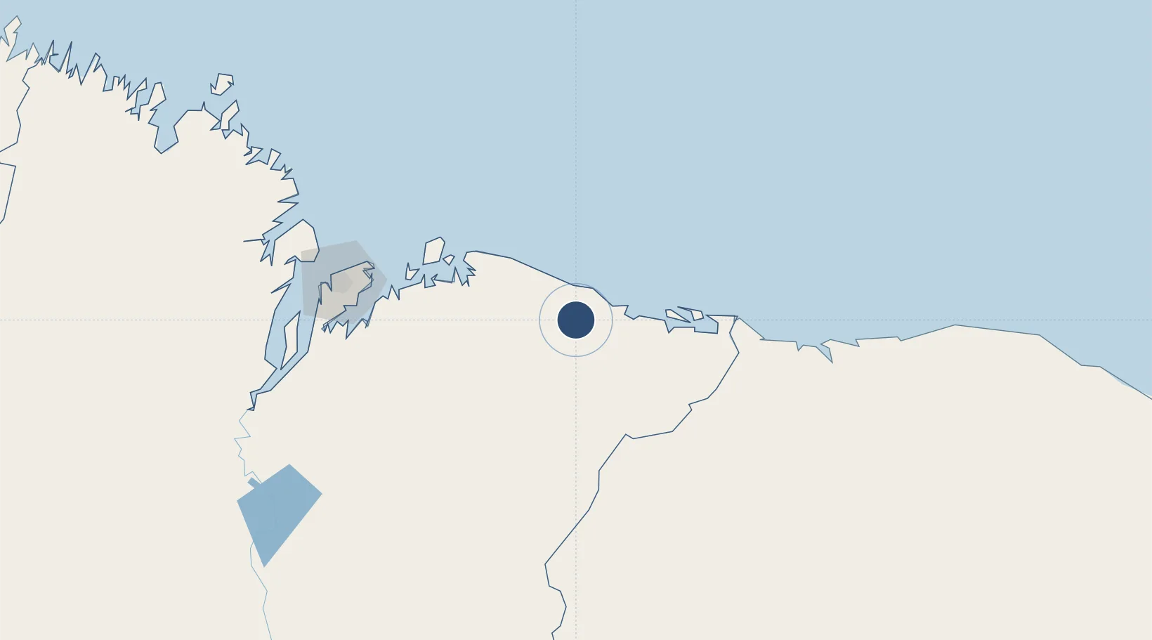
Location
Nearby Logistics Neighbours
Airports
Cities
- 1São Luís167 km
- 2Bacabeira168 km
- 3Itaqui Pt / São Luís173 km
- 4Ponta da Madeira Pt / São Luís174 km
- 5Alcântara184 km
Ports
- 1Tutoia58 km
- 2Itaqui175 km
- 3Camocim219 km
- 4Belem650 km
- 5Vila Do Conde674 km
Trade Zones
- 1ZPE de Parnaíba (PI)117 km
- 2ZPE de São Luís171 km
- 3ZPE de Pecém (CE) ( Port of Pecém)449 km
- 4ZPE de Barcarena (PA)662 km
- 5ZPE de Araguaína (TO)776 km
DatabookThe Record of Consolidated Knowledge
Brazil beyond logistics?