Export Processing Zone · Brazil
ZPE de Macaíba (RN) Under Development
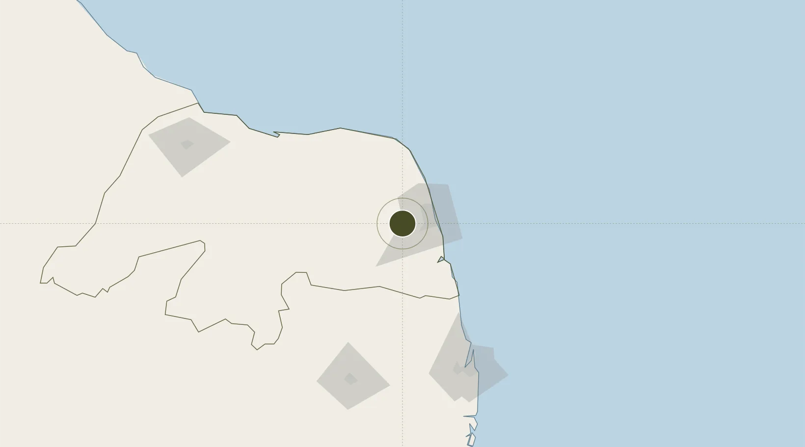
-5.8789°, -35.4571°
162 ha
Zone area
30.4 km
Nearest port
15.7 km
Nearest airport
Gateway access
Zone profile
Zone type
Export Processing Zone
Region
Rio Grande do Norte
Status
Under Development
Management
Private
Operator
Administradora da Zona de Processamento de Exportação de Macaíba (AZMAC)
Legal framework
Decreto de 10 de Junho de 2010; Law 11.508 / 2007, with the changes introduced by Laws 11.732 / 2008 and 12.767 / 2012
Location
Nearby Logistics Neighbours
Ports
- 1Natal30 km
- 2Cabedelo139 km
- 3Guamare Oil Terminal145 km
- 4Recife250 km
- 5Porto De Suape286 km
Airports
Cities
- 1Natal30 km
- 2Galinhos126 km
- 3Guamaré129 km
- 4Cabedelo Pt / João Pessoa139 km
- 5Macau156 km
Trade Zones
- 1ZPE de João Pessoa (PB)152 km
- 2ZPE de Suape (PE)285 km
- 3ZPE de Pecém (CE) ( Port of Pecém)454 km
- 4ZPE de Barra dos Coqueiros (SE)585 km
- 5ZPE de Parnaíba (PI)771 km
DatabookThe Record of Consolidated Knowledge
Brazil beyond logistics?