Medium airport · Brazil

Dr. Luciano de Arruda Coelho Regional AirportSN6L
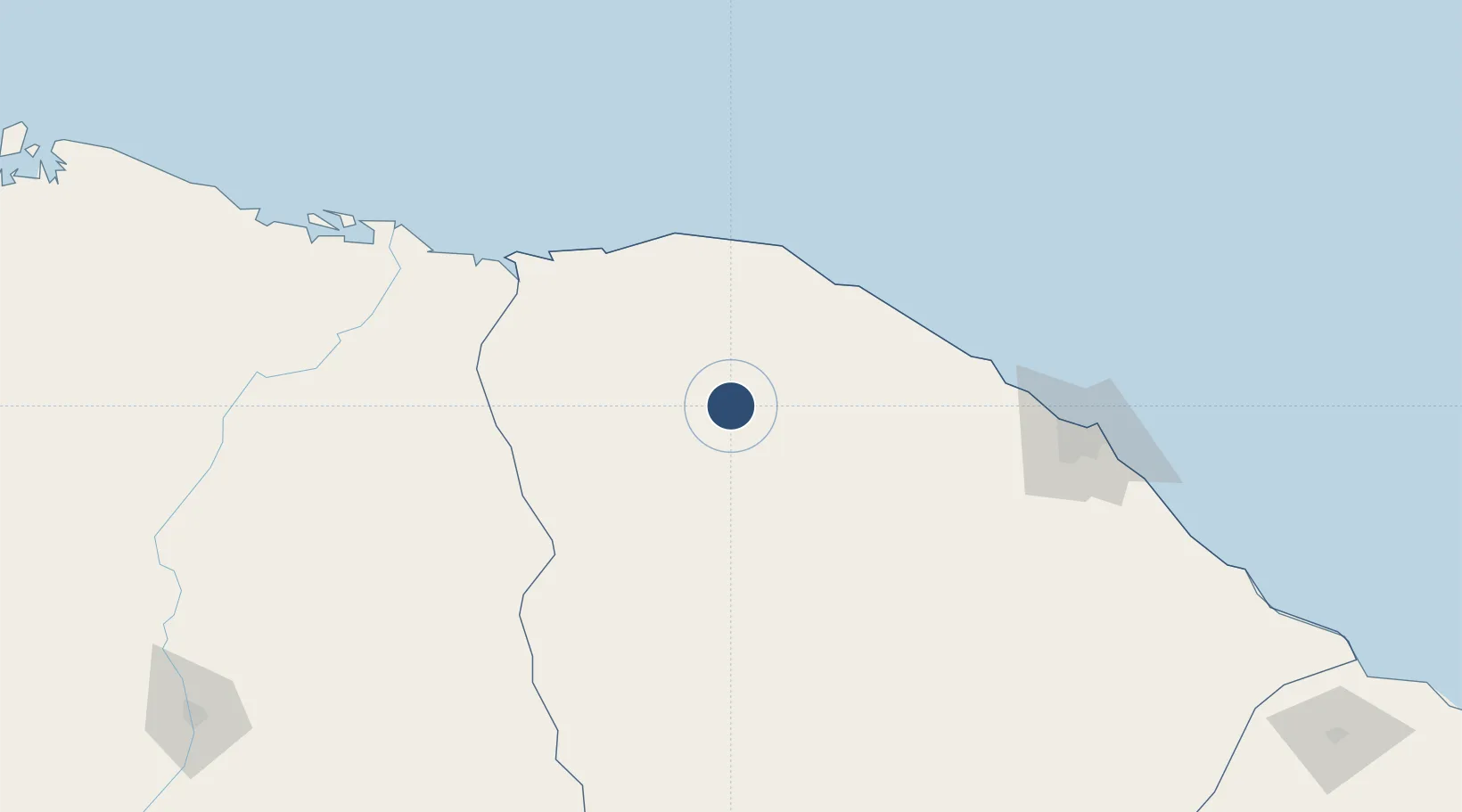
-3.6145°, -40.2314°
5,906 ft
Longest runway
1
Runways
299 ft
Elevation

Runway & Layout

Dr. Luciano de Arruda Coelho Regional Airport runway & taxiway layout
Runway & taxiway layout — OpenStreetMap (ODbL) / OurAirports

Runways · 1

RunwayDimensions SurfaceTrue headingLit
10/28 5,906 × 98ft Asphalt
OurAirports

Airport Specifications

IATA code
JSO
OurAirports
ICAO code
SN6L
OurAirports
Airport class
Medium airport
OurAirports
Scheduled service
Yes
OurAirports
Runway surface
Asphalt
OurAirports
Served city
Sobral
OurAirports

Location

Location of SN6L
Natural Earth 10m (public domain) · Ceará · SN6L · -3.61, -40.23GoogleOSMYandex

Nearby Logistics Neighbours

Airports
  1. 1Comandante Ariston Pessoa Airport80 km
  2. 2Parnaíba - Prefeito Doutor João Silva Filho International Airport185 km
  3. 3Pinto Martins International Airport189 km
  4. 4Quixadá Airport205 km
  5. 5Russas - João de Deus Regional Airport288 km
Nearest neighbours — logibook spatial index (haversine) over the source coordinates
Cities
  1. 1Sobral14 km
  2. 2Paracuru137 km
  3. 3Pecém Pt / São Gonçalo do Amarante172 km
  4. 4Crateús179 km
  5. 5Fortaleza193 km
Nearest neighbours — logibook spatial index (haversine) over the source coordinates
Ports
  1. 1Camocim104 km
  2. 2Tutoia246 km
  3. 3Guamare Oil Terminal459 km
  4. 4Itaqui474 km
  5. 5Natal608 km
Nearest neighbours — logibook spatial index (haversine) over the source coordinates
Trade Zones
  1. 1ZPE de Pecém (CE) ( Port of Pecém)154 km
  2. 2ZPE de Parnaíba (PI)186 km
  3. 3ZPE de São Luís470 km
  4. 4ZPE de Macaíba (RN)586 km
  5. 5ZPE de João Pessoa (PB)704 km
Nearest neighbours — logibook spatial index (haversine) over the source coordinates
DatabookThe Record of Consolidated Knowledge
Brazil beyond logistics?
Browse databook

All Sources

AirportsOurAirports
Public domain
Portsthe NGA World Port Index
Public domain (US gov)
LocationsUN/LOCODE
UN/LOCODE — free
Trade Zonesthe World Bank SEZ database
CC BY 4.0
Trade ZonesOpen Zone Map
CC BY
InfrastructureOpenStreetMap
ODbL 1.0
← Brazil airports