Large airport · Brazil

Marechal Cunha Machado International AirportSBSL
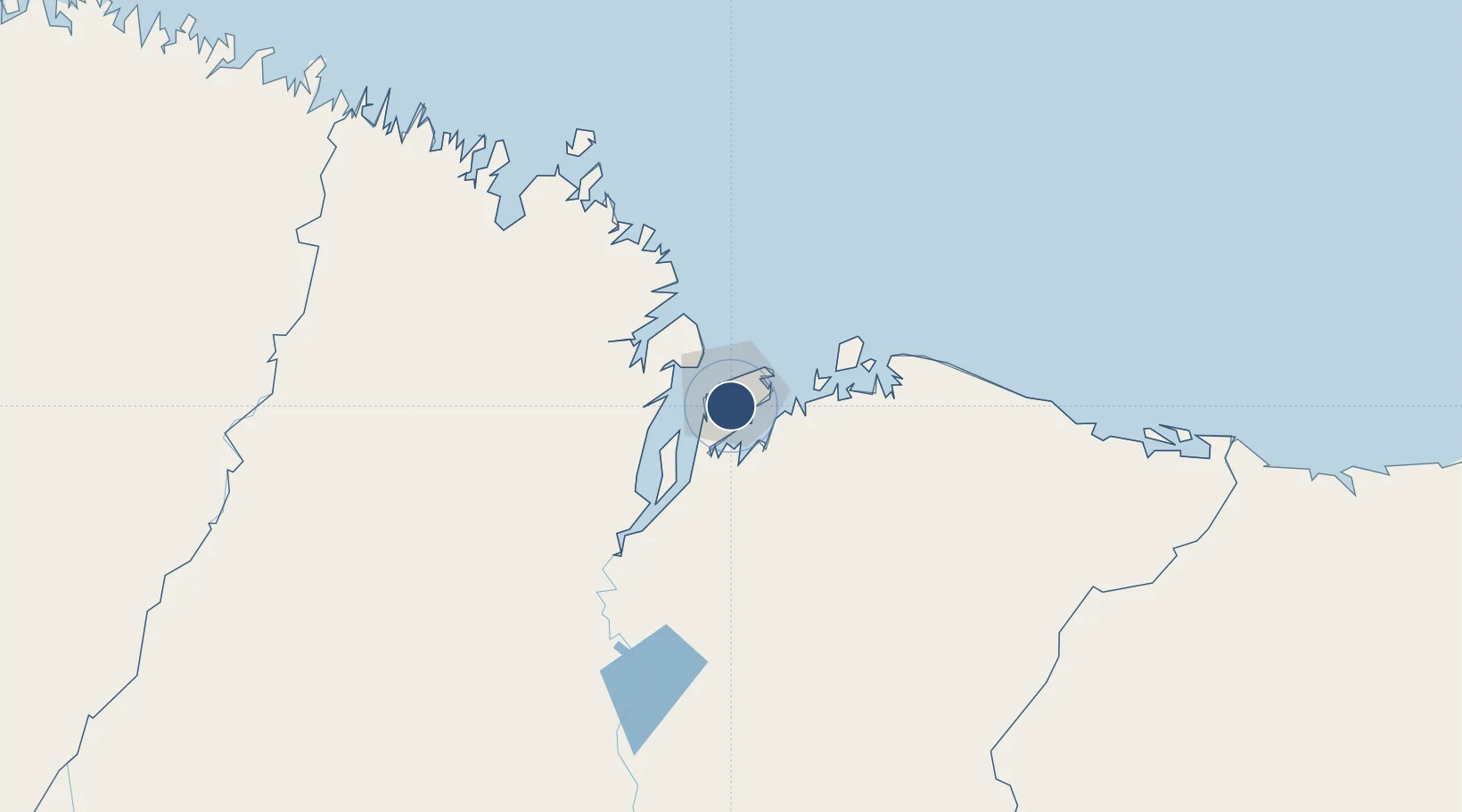
-2.5864°, -44.2350°
7,828 ft
Longest runway
2
Runways
178 ft
Elevation

Runway & Layout

Marechal Cunha Machado International Airport runway & taxiway layout
Runway & taxiway layout — OpenStreetMap (ODbL) / OurAirports

Radio Frequencies

TWR
118.7 MHz
SAO LUIS TWR
APP
119.1 MHz
SAO LUIS APP
OPS
122.05 MHz
SAO LUIS OPS
OurAirports

Navaids

SLI VOR-DME Sao Luis 113.50 MHz
SLI NDB Sao Luis 280 kHz
OurAirports

Runways · 2

RunwayDimensions SurfaceTrue headingLit
06/24 7,828 × 148ft Asphalt 039°
09/27 4,803 × 148ft Asphalt 070°
OurAirports

Airport Specifications

IATA code
SLZ
OurAirports
ICAO code
SBSL
OurAirports
Airport class
Large airport
OurAirports
Scheduled service
Yes
OurAirports
Runway surface
Asphalt
OurAirports
Served city
São Luís
OurAirports

Location

Location of SBSL
Natural Earth 10m (public domain) · Maranhão · SBSL · -2.59, -44.24GoogleOSMYandex

Nearby Logistics Neighbours

Airports
  1. 1Barreirinhas National Airport160 km
  2. 2Parnaíba - Prefeito Doutor João Silva Filho International Airport280 km
  3. 3Senador Petrônio Portela Airport317 km
  4. 4Nagib Demachki Airport346 km
  5. 5Salinópolis Airport404 km
Nearest neighbours — logibook spatial index (haversine) over the source coordinates
Cities
  1. 1São Luís9 km
  2. 2Itaqui Pt / São Luís13 km
  3. 3Ponta da Madeira Pt / São Luís14 km
  4. 4Alcântara29 km
  5. 5Bacabeira45 km
Nearest neighbours — logibook spatial index (haversine) over the source coordinates
Ports
  1. 1Itaqui15 km
  2. 2Tutoia218 km
  3. 3Camocim379 km
  4. 4Belem491 km
  5. 5Vila Do Conde515 km
Nearest neighbours — logibook spatial index (haversine) over the source coordinates
Trade Zones
  1. 1ZPE de São Luís11 km
  2. 2ZPE de Parnaíba (PI)277 km
  3. 3ZPE de Barcarena (PA)502 km
  4. 4ZPE de Pecém (CE) ( Port of Pecém)608 km
  5. 5ZPE de Araguaína (TO)675 km
Nearest neighbours — logibook spatial index (haversine) over the source coordinates
DatabookThe Record of Consolidated Knowledge
Brazil beyond logistics?
Browse databook

All Sources

AirportsOurAirports
Public domain
Portsthe NGA World Port Index
Public domain (US gov)
LocationsUN/LOCODE
UN/LOCODE — free
Trade Zonesthe World Bank SEZ database
CC BY 4.0
Trade ZonesOpen Zone Map
CC BY
InfrastructureOpenStreetMap
ODbL 1.0
← Brazil airports