Medium airport · Brazil
Comandante Ariston Pessoa AirportSBJE
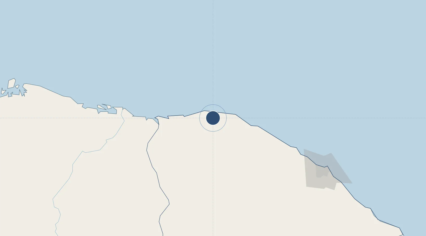
-2.9064°, -40.3573°
7,218 ft
Longest runway
1
Runways
89 ft
Elevation
Runway & Layout

Runways · 1
| Runway | Dimensions | Surface | True heading | Lit |
|---|---|---|---|---|
| 08/26 | 7,218 × 148ft | ASPH | 063° | ✓ |
Airport Specifications
IATA code
JJD
ICAO code
SBJE
Airport class
Medium airport
Scheduled service
Yes
Runway surface
ASPH
Served city
Cruz
Location
Nearby Logistics Neighbours
Airports
Cities
- 1Sobral86 km
- 2Paracuru159 km
- 3Pecém Pt / São Gonçalo do Amarante205 km
- 4Fortaleza228 km
- 5Crateús254 km
Ports
- 1Camocim53 km
- 2Tutoia214 km
- 3Itaqui447 km
- 4Guamare Oil Terminal502 km
- 5Natal655 km
Trade Zones
- 1ZPE de Parnaíba (PI)157 km
- 2ZPE de Pecém (CE) ( Port of Pecém)184 km
- 3ZPE de São Luís443 km
- 4ZPE de Macaíba (RN)636 km
- 5ZPE de João Pessoa (PB)762 km
DatabookThe Record of Consolidated Knowledge
Brazil beyond logistics?