UN/LOCODE hub · Brazil
BRSLZ

São Luís

-2.5167°, -44.2833°
917,237
Population
4
Transport functions

Transport Functions

Rail
Road
Airport
Multimodal
UN/LOCODE

Hub Profile

Place type
Regional capital
GeoNames
Region
Maranhão
GeoNames
Population
917,237
GeoNames
Time zone
America/Fortaleza
GeoNames
Elevation
29 m
GeoNames

Location

Location of BRSLZ
Natural Earth 10m (public domain) · Maranhão · BRSLZ · -2.52, -44.28GoogleOSMYandex

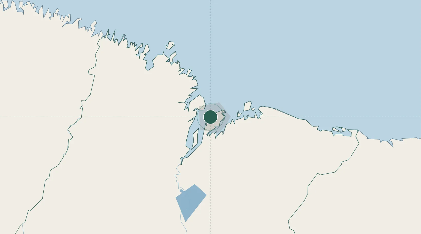
Nearby Logistics Neighbours

Cities
  1. 1Ponta da Madeira Pt / São Luís8 km
  2. 2Itaqui Pt / São Luís10 km
  3. 3Alcântara20 km
  4. 4Bacabeira52 km
  5. 5Cachoeira do Piriá264 km
Nearest neighbours — logibook spatial index (haversine) over the source coordinates
Ports
  1. 1Itaqui11 km
  2. 2Tutoia224 km
  3. 3Camocim386 km
  4. 4Belem483 km
  5. 5Vila Do Conde508 km
Nearest neighbours — logibook spatial index (haversine) over the source coordinates
Trade Zones
  1. 1ZPE de São Luís7 km
  2. 2ZPE de Parnaíba (PI)284 km
  3. 3ZPE de Barcarena (PA)495 km
  4. 4ZPE de Pecém (CE) ( Port of Pecém)615 km
  5. 5ZPE de Araguaína (TO)677 km
Nearest neighbours — logibook spatial index (haversine) over the source coordinates
DatabookThe Record of Consolidated Knowledge
Brazil beyond logistics?
Browse databook

All Sources

LocationsUN/LOCODE
UN/LOCODE — free
LocationsGeoNames
CC BY 4.0
Portsthe NGA World Port Index
Public domain (US gov)
AirportsOurAirports
Public domain
Trade Zonesthe World Bank SEZ database
CC BY 4.0
Trade ZonesOpen Zone Map
CC BY
← Brazil locations