Channel & Berth Profile
Pilotage, Tugs & Services
Pilotage compulsoryYES
Pilotage availableYES
Local assistanceYES
Tug assistanceYES
Shore powerYES
Potable waterYES
MedicalYES
Garbage disposalNO
Facilities & Capabilities
Container—
Ro-Ro—
Liquid bulk—
Dry bulk—
Oil terminal—
Break bulk—
Dry dock—
Repairs—
BunkeringYES
Rail linkYES
Dangerous cargo—
ISPS security—
Harbour Specifications
Harbour size
Small
Harbour type
Coastal (Natural)
Shelter
Good
Water body
South Atlantic Ocean
Tidal range
7 m
Overhead limit
Yes
Pilotage
Yes
Liner Connectivity
9.3
PLSCI
Port Liner Shipping Connectivity Index for Itaqui, as published by UNCTAD for the latest available quarter. Higher values indicate stronger scheduled liner-shipping integration.
Shown relative to the highest per-port PLSCI in the dataset (1,657.9).
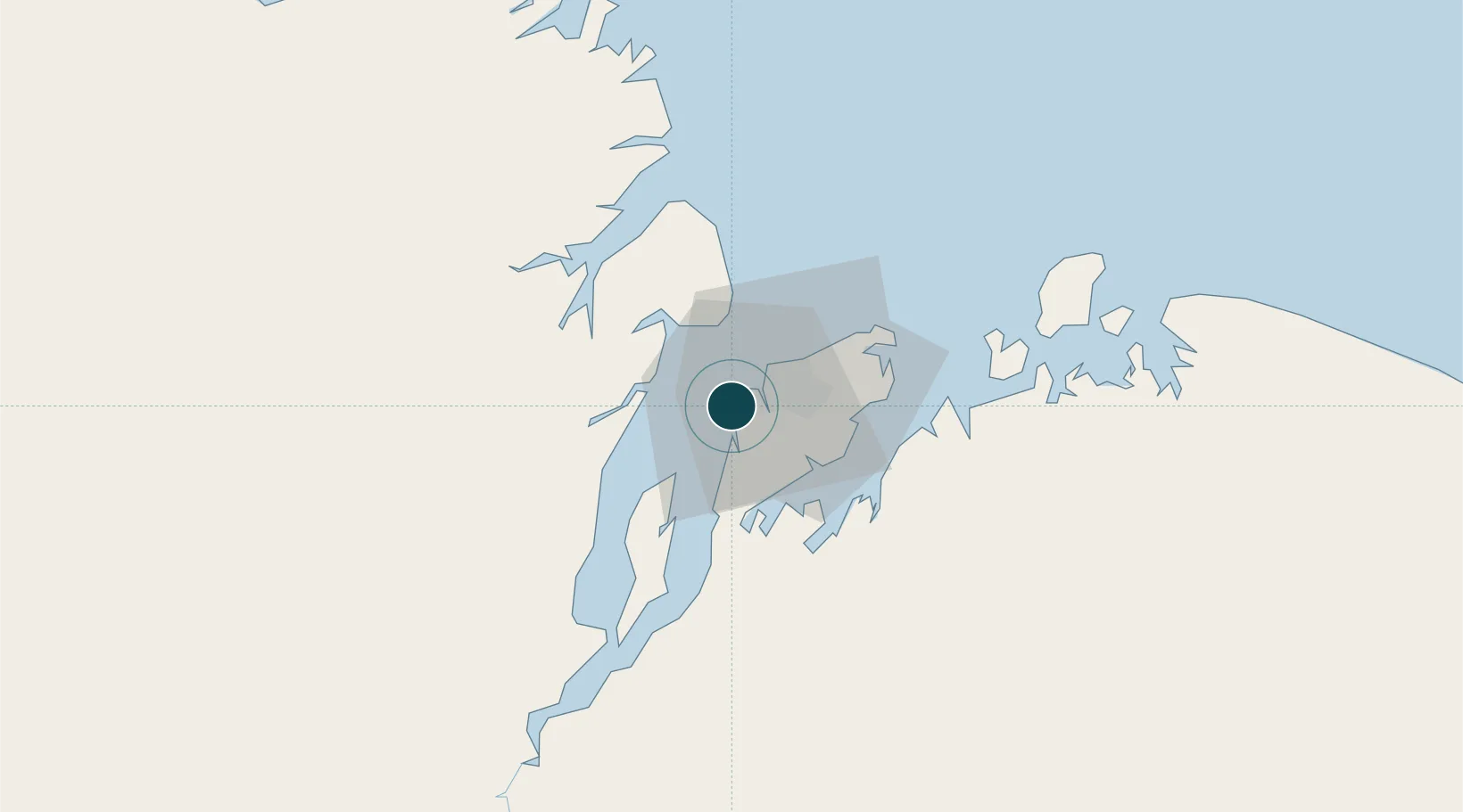
Location
Nearby Logistics Neighbours
Ports
- 1Tutoia233 km
- 2Camocim394 km
- 3Belem476 km
- 4Vila Do Conde500 km
- 5Cameta571 km
Cities
- 1Ponta da Madeira Pt / São Luís4 km
- 2São Luís11 km
- 3Alcântara19 km
- 4Bacabeira47 km
- 5Cachoeira do Piriá257 km
Airports
Trade Zones
- 1ZPE de São Luís4 km
- 2ZPE de Parnaíba (PI)292 km
- 3ZPE de Barcarena (PA)488 km
- 4ZPE de Pecém (CE) ( Port of Pecém)623 km
- 5ZPE de Araguaína (TO)667 km
DatabookThe Record of Consolidated Knowledge
Brazil beyond logistics?