Medium airport · Brazil
Senador Petrônio Portela AirportSBTE
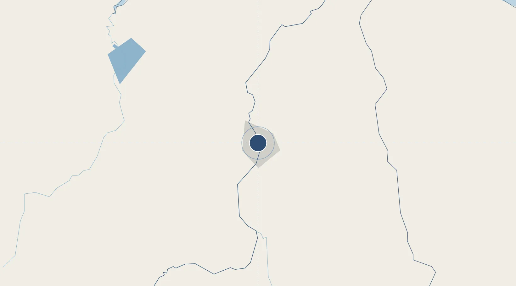
-5.0602°, -42.8237°
7,218 ft
Longest runway
1
Runways
219 ft
Elevation
Runway & Layout

Radio Frequencies
ATIS
127.8 MHz
TERESINA ATIS
TWR
118.8 MHz
APP
119.6 MHz
TERESINA APP
Runways · 1
| Runway | Dimensions | Surface | True heading | Lit |
|---|---|---|---|---|
| 2/20 | 7,218 × 148ft | Asphalt | — | — |
Airport Specifications
IATA code
THE
ICAO code
SBTE
Airport class
Medium airport
Scheduled service
Yes
Runway surface
Asphalt
Served city
Teresina
Location
Nearby Logistics Neighbours
Airports
Cities
- 1Teresina4 km
- 2Crateús239 km
- 3Bacabeira283 km
- 4Sobral316 km
- 5Itaqui Pt / São Luís325 km
Ports
- 1Tutoia260 km
- 2Itaqui326 km
- 3Camocim326 km
- 4Guamare Oil Terminal725 km
- 5Belem747 km
Trade Zones
- 1ZPE de Parnaíba (PI)261 km
- 2ZPE de São Luís324 km
- 3ZPE de Pecém (CE) ( Port of Pecém)471 km
- 4ZPE de Araguaína (TO)642 km
- 5ZPE de Barcarena (PA)755 km
DatabookThe Record of Consolidated Knowledge
Brazil beyond logistics?