Transport Functions
Rail
Road
Airport
Hub Profile
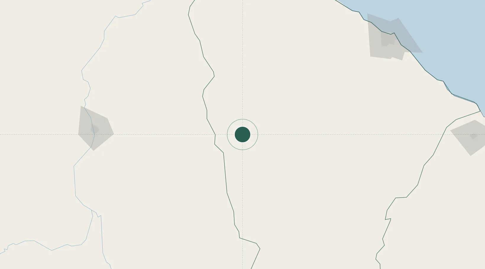
Place type
Populated place
Region
Ceará
Population
76,390
Time zone
America/Fortaleza
Elevation
288 m
Location
Nearby Logistics Neighbours
Cities
- 1Sobral169 km
- 2Teresina236 km
- 3Paracuru268 km
- 4Pecém Pt / São Gonçalo do Amarante274 km
- 5Fortaleza284 km
Ports
- 1Camocim253 km
- 2Tutoia320 km
- 3Guamare Oil Terminal487 km
- 4Itaqui502 km
- 5Natal609 km
Airports
Trade Zones
- 1ZPE de Pecém (CE) ( Port of Pecém)268 km
- 2ZPE de Parnaíba (PI)274 km
- 3ZPE de São Luís499 km
- 4ZPE de Macaíba (RN)582 km
- 5ZPE de João Pessoa (PB)669 km
DatabookThe Record of Consolidated Knowledge
Brazil beyond logistics?