UN/LOCODE hub · Brazil
BRTHE

Teresina

-5.0833°, -42.8000°
871,126
Population
3
Transport functions

Transport Functions

Rail
Road
Airport
UN/LOCODE

Hub Profile

Place type
Regional capital
GeoNames
Region
Piauí
GeoNames
Population
871,126
GeoNames
Time zone
America/Fortaleza
GeoNames
Elevation
87 m
GeoNames

Location

Location of BRTHE
Natural Earth 10m (public domain) · Piauí · BRTHE · -5.08, -42.80GoogleOSMYandex

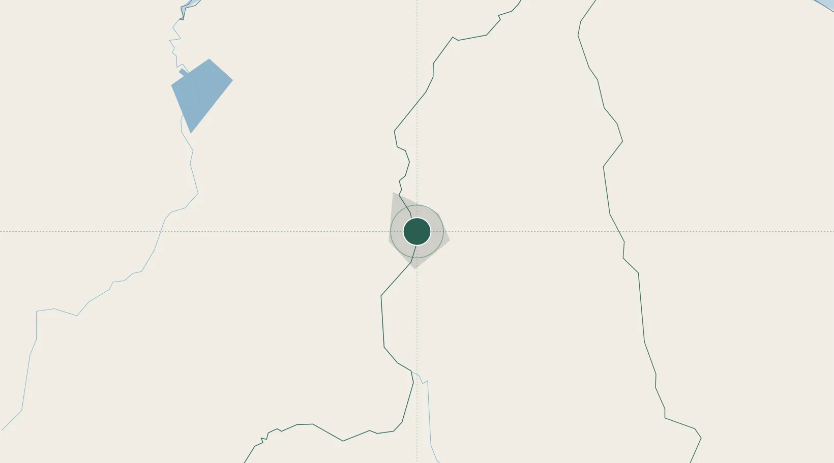
Nearby Logistics Neighbours

Cities
  1. 1Crateús236 km
  2. 2Bacabeira287 km
  3. 3Sobral315 km
  4. 4Itaqui Pt / São Luís328 km
  5. 5São Luís329 km
Nearest neighbours — logibook spatial index (haversine) over the source coordinates
Ports
  1. 1Tutoia262 km
  2. 2Camocim326 km
  3. 3Itaqui329 km
  4. 4Guamare Oil Terminal722 km
  5. 5Belem751 km
Nearest neighbours — logibook spatial index (haversine) over the source coordinates
Trade Zones
  1. 1ZPE de Parnaíba (PI)263 km
  2. 2ZPE de São Luís328 km
  3. 3ZPE de Pecém (CE) ( Port of Pecém)469 km
  4. 4ZPE de Araguaína (TO)643 km
  5. 5ZPE de Barcarena (PA)759 km
Nearest neighbours — logibook spatial index (haversine) over the source coordinates
DatabookThe Record of Consolidated Knowledge
Brazil beyond logistics?
Browse databook

All Sources

LocationsUN/LOCODE
UN/LOCODE — free
LocationsGeoNames
CC BY 4.0
Portsthe NGA World Port Index
Public domain (US gov)
AirportsOurAirports
Public domain
Trade Zonesthe World Bank SEZ database
CC BY 4.0
Trade ZonesOpen Zone Map
CC BY
← Brazil locations