Channel & Berth Profile
Pilotage, Tugs & Services
Pilotage compulsoryYES
Pilotage availableYES
Local assistanceYES
Potable waterYES
Diesel bunkersYES
MedicalYES
Facilities & Capabilities
Container—
Ro-Ro—
Liquid bulk—
Dry bulk—
Oil terminal—
Break bulk—
Dry dock—
RepairsNO
Bunkering—
Rail linkYES
Dangerous cargo—
ISPS security—
Harbour Specifications
Harbour size
Very Small
Harbour type
River (Natural)
Shelter
Good
Water body
South Atlantic Ocean
Tidal range
3 m
Overhead limit
Yes
Pilotage
Yes
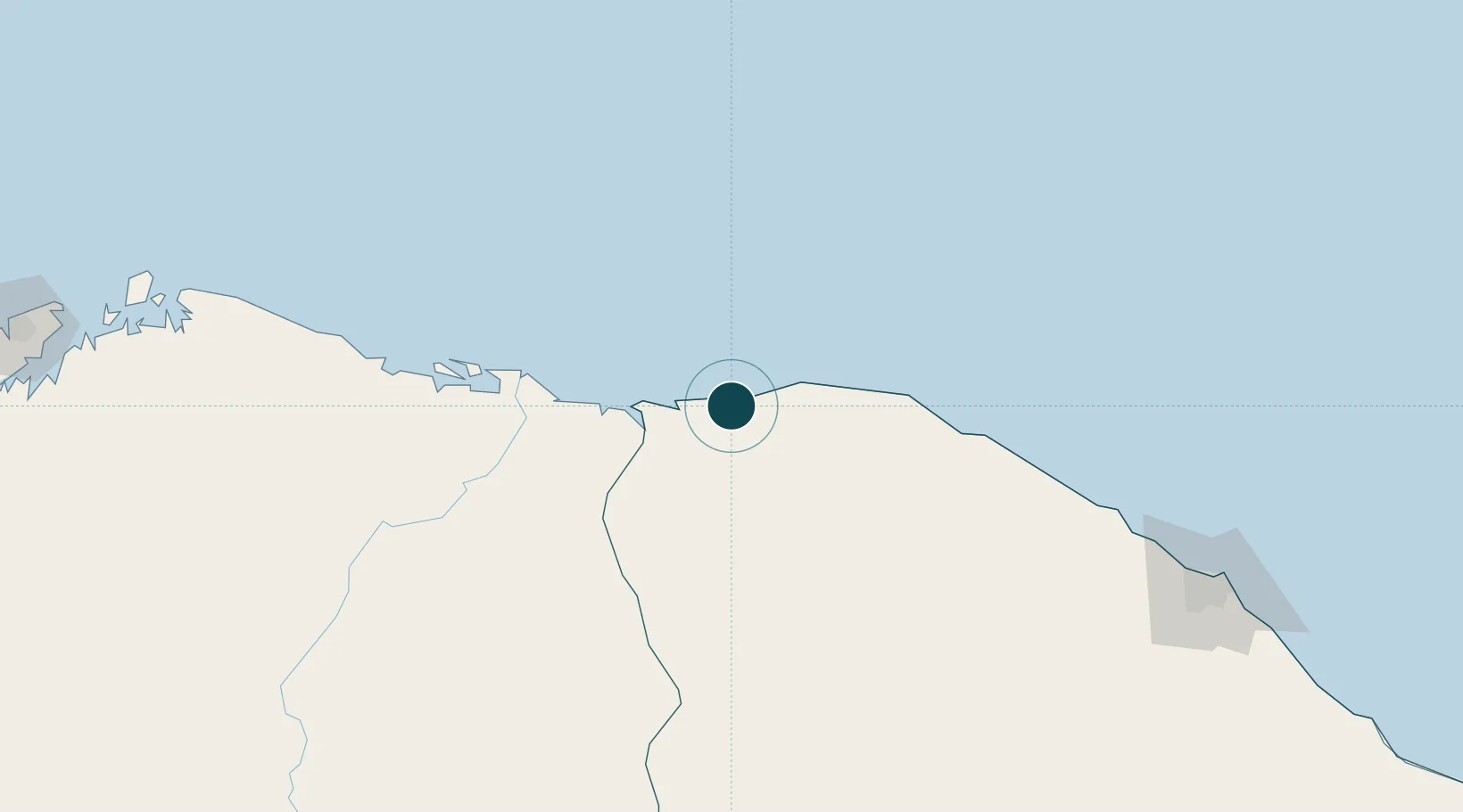
Location
Nearby Logistics Neighbours
Ports
- 1Tutoia162 km
- 2Itaqui394 km
- 3Guamare Oil Terminal550 km
- 4Natal702 km
- 5Cabedelo804 km
Cities
- 1Sobral103 km
- 2Paracuru209 km
- 3Crateús253 km
- 4Pecém Pt / São Gonçalo do Amarante254 km
- 5Fortaleza277 km
Airports
Trade Zones
- 1ZPE de Parnaíba (PI)104 km
- 2ZPE de Pecém (CE) ( Port of Pecém)233 km
- 3ZPE de São Luís390 km
- 4ZPE de Macaíba (RN)682 km
- 5ZPE de João Pessoa (PB)805 km
DatabookThe Record of Consolidated Knowledge
Brazil beyond logistics?