Channel & Berth Profile
Pilotage, Tugs & Services
Pilotage compulsoryNO
Pilotage availableNO
Shore powerYES
Potable waterYES
MedicalYES
Facilities & Capabilities
Container—
Ro-Ro—
Liquid bulk—
Dry bulk—
Oil terminal—
Break bulk—
Dry dock—
RepairsNO
BunkeringNO
Rail link—
Dangerous cargo—
ISPS security—
Harbour Specifications
Harbour size
Very Small
Harbour type
Open Roadstead
Shelter
Poor
Water body
South Atlantic Ocean
Tidal range
1.8 m
Pilotage
No
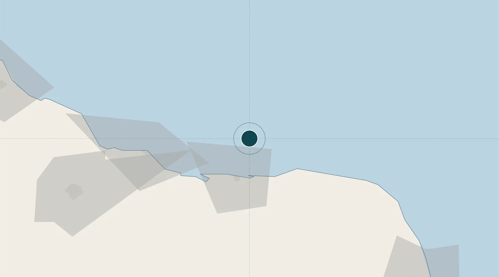
Location
Nearby Logistics Neighbours
Ports
- 1Natal157 km
- 2Cabedelo283 km
- 3Recife387 km
- 4Porto De Suape419 km
- 5Porto De Maceio537 km
Cities
- 1Galinhos24 km
- 2Macau47 km
- 3Areia Branca93 km
- 4Mossoró123 km
- 5Natal156 km
Airports
Trade Zones
- 1ZPE de Macaíba (RN)145 km
- 2ZPE de João Pessoa (PB)293 km
- 3ZPE de Pecém (CE) ( Port of Pecém)318 km
- 4ZPE de Suape (PE)418 km
- 5ZPE de Parnaíba (PI)645 km
DatabookThe Record of Consolidated Knowledge
Brazil beyond logistics?